Transport Functions
Rail
Road
Hub Profile
Place type
Populated place
Region
Baden-Wurttemberg
Time zone
Europe/Berlin
Elevation
198 m
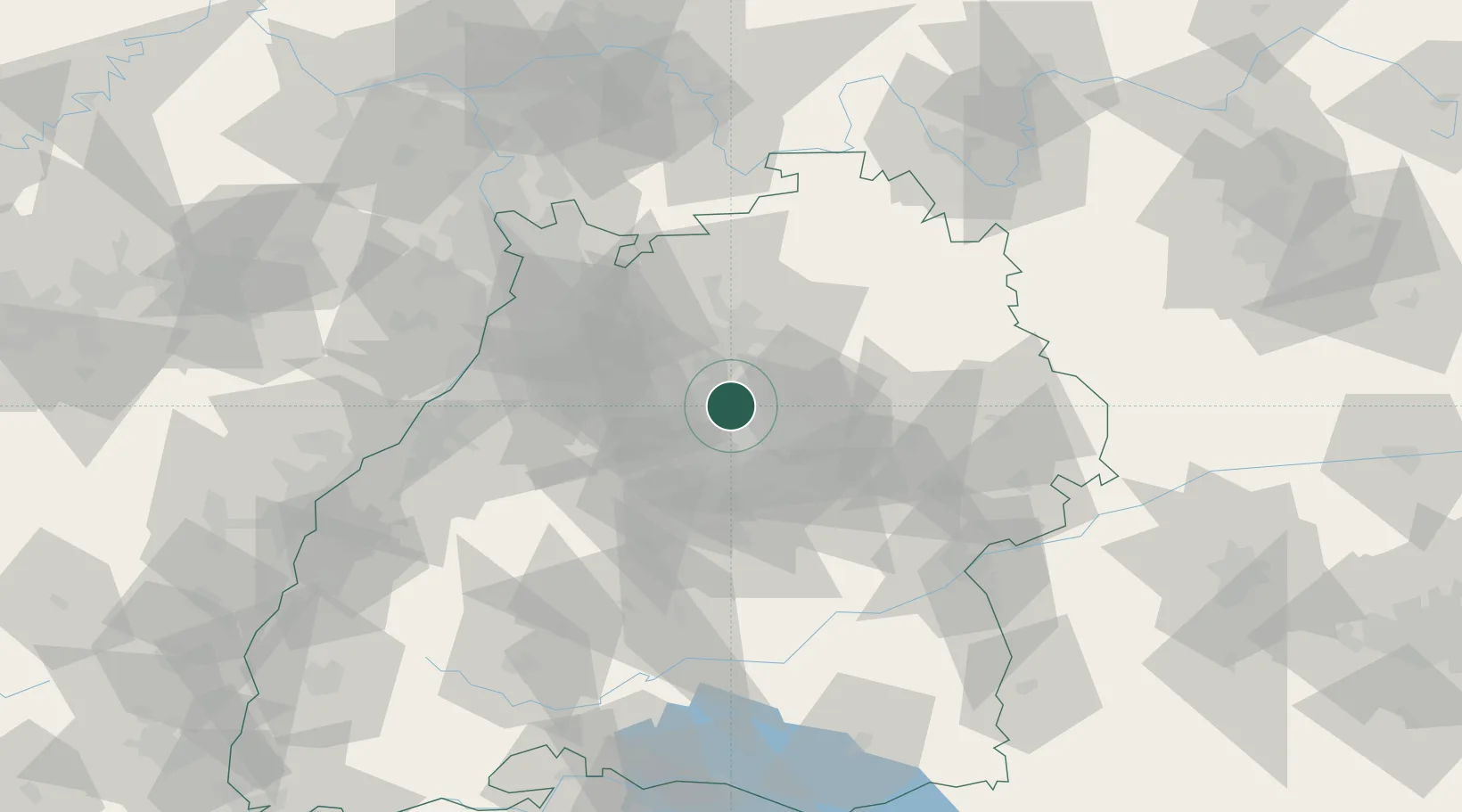
Location
Nearby Logistics Neighbours
Cities
- 1Freiberg am Neckar0 km
- 2Marbach am Neckar4 km
- 3Möglingen7 km
- 4Kornwestheim9 km
- 5Sachsenheim10 km
Ports
- 1Bruxelles408 km
- 2Antwerpen426 km
- 3Dordrecht455 km
- 4Porto Di Lido-Venezia461 km
- 5Nogaro462 km
Airports
- 1Stuttgart Airport27 km
- 2Adolf Würth Airport47 km
- 3Niederstetten Army Air Base75 km
- 4Mannheim-City Airport78 km
- 5Karlsruhe Baden-Baden Airport84 km
Trade Zones
- 1ZFU Neuhof114 km
- 2ZFU Hautepierre117 km
- 3ZFU La Cité Behren-lès-Forbach168 km
- 4ZFU Mulhouse191 km
- 5ZFU Metz222 km
DatabookThe Record of Consolidated Knowledge
Germany beyond logistics?