Transport Functions
Port
Road
Hub Profile
Place type
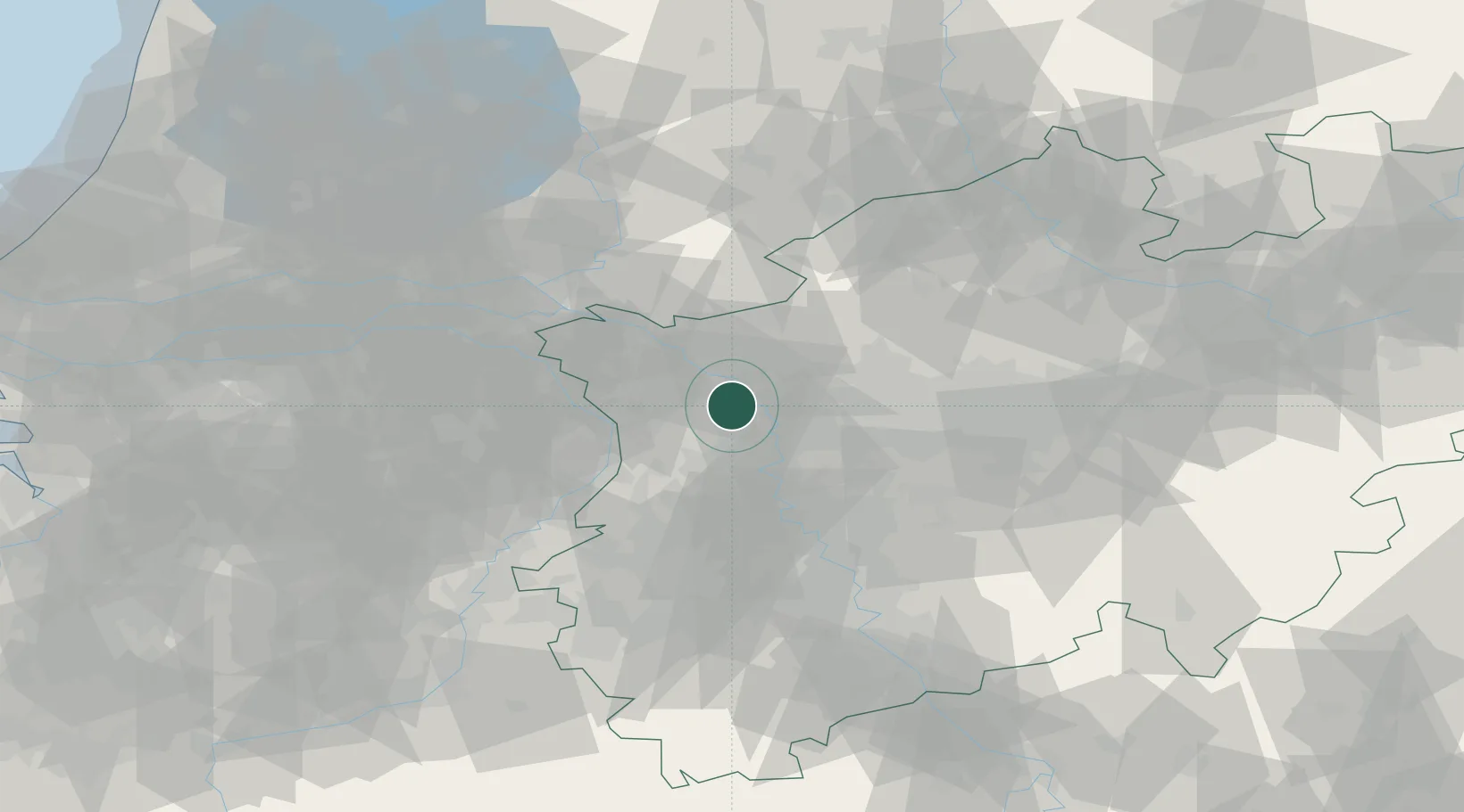
Populated place
Region
North Rhine-Westphalia
Time zone
Europe/Berlin
Elevation
26 m
Location
Nearby Logistics Neighbours
Airports
- 1Weeze (Niederrhein) Airport30 km
- 2Düsseldorf Airport34 km
- 3Mönchengladbach Airport38 km
- 4Volkel Air Base60 km
- 5Dortmund Airport73 km
Trade Zones
- 1Freeport of Duisburg13 km
- 2Rheinische Revier SWZ74 km
- 3Freeport of Emden201 km
- 4Luxembourg Free Port216 km
- 5Freeport of Bremerhaven (Freihafen Bremerhaven)226 km
DatabookThe Record of Consolidated Knowledge
Germany beyond logistics?