Transport Functions
Multimodal
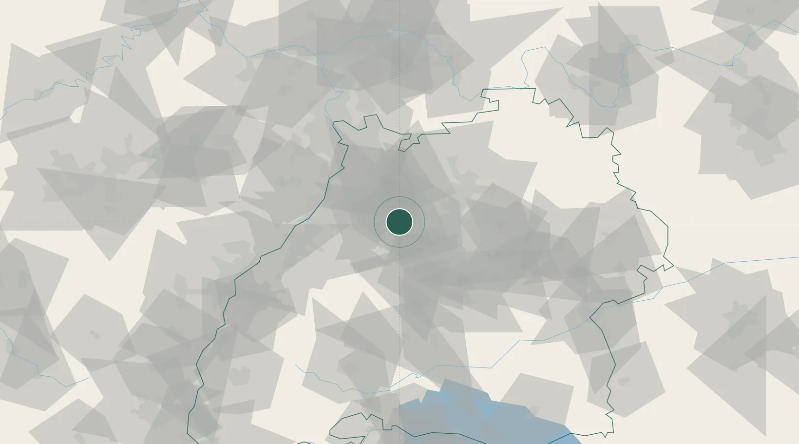
Hub Profile
Place type
Local administrative seat
Region
Baden-Wurttemberg
Population
4,827
Time zone
Europe/Berlin
Elevation
237 m
Location
Nearby Logistics Neighbours
Cities
- 1Ölbronn-Dürrn5 km
- 2Illingen8 km
- 3Ispringen12 km
- 4Michelbach am Heuchelberg14 km
- 5Königsbach-Stein15 km
Airports
- 1Stuttgart Airport43 km
- 2Karlsruhe Baden-Baden Airport58 km
- 3Mannheim-City Airport60 km
- 4Adolf Würth Airport73 km
- 5Niederstetten Army Air Base95 km
Trade Zones
- 1ZFU Neuhof91 km
- 2ZFU Hautepierre92 km
- 3ZFU La Cité Behren-lès-Forbach139 km
- 4ZFU Mulhouse174 km
- 5ZFU Metz194 km
DatabookThe Record of Consolidated Knowledge
Germany beyond logistics?