Transport Functions
Rail
Road
Multimodal
Hub Profile
Region
BW
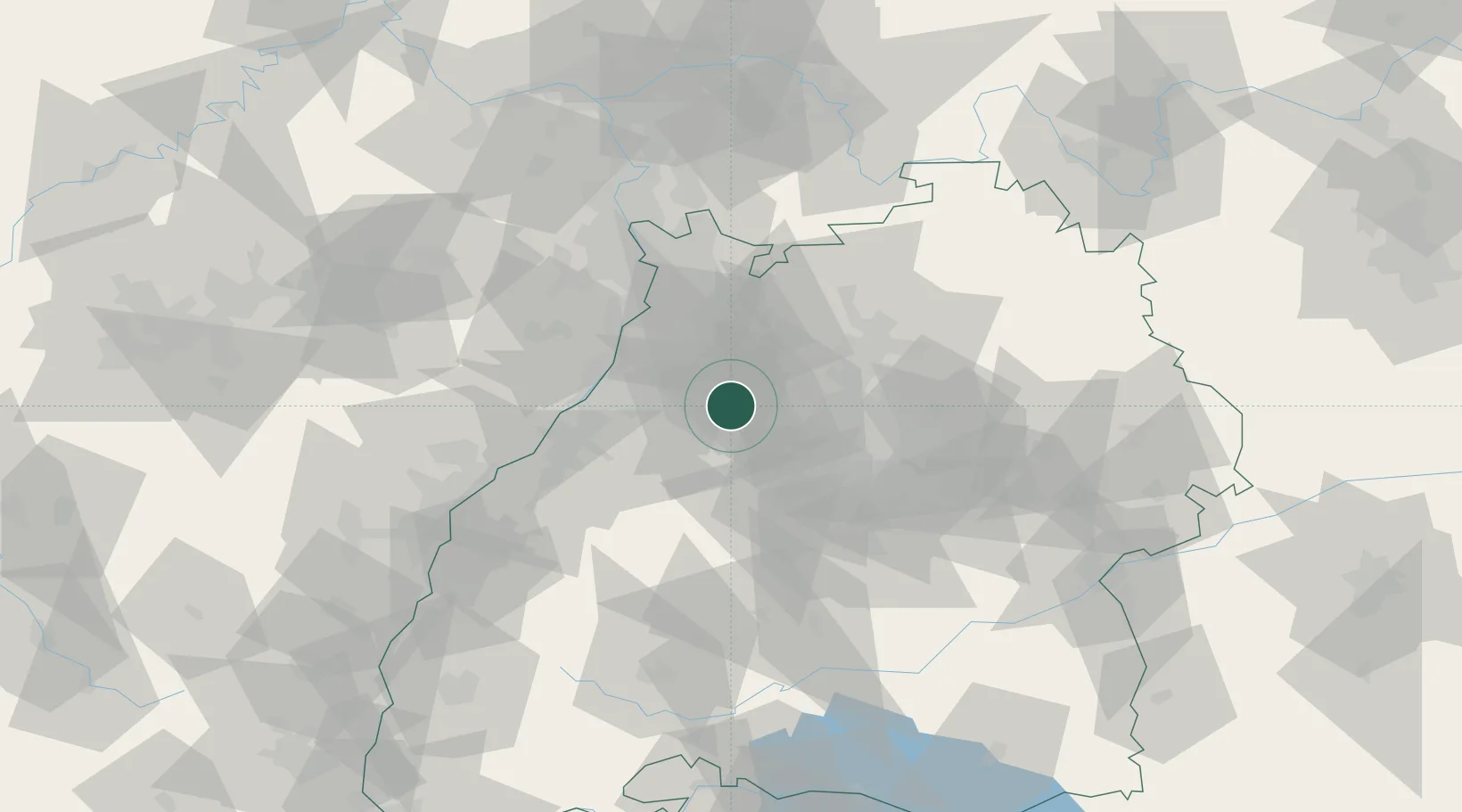
Location
Nearby Logistics Neighbours
Cities
- 1Ötisheim5 km
- 2Ispringen8 km
- 3Königsbach-Stein10 km
- 4Kaempfelbach11 km
- 5Walzbachtal12 km
Airports
- 1Stuttgart Airport46 km
- 2Karlsruhe Baden-Baden Airport53 km
- 3Mannheim-City Airport59 km
- 4Adolf Würth Airport77 km
- 5Lahr Airport95 km
Trade Zones
- 1ZFU Neuhof87 km
- 2ZFU Hautepierre88 km
- 3ZFU La Cité Behren-lès-Forbach135 km
- 4ZFU Mulhouse171 km
- 5ZFU Metz189 km
DatabookThe Record of Consolidated Knowledge
Germany beyond logistics?