Transport Functions
Rail
Road
Hub Profile
Place type
Populated place
Region
North Rhine-Westphalia
Time zone
Europe/Berlin
Elevation
73 m
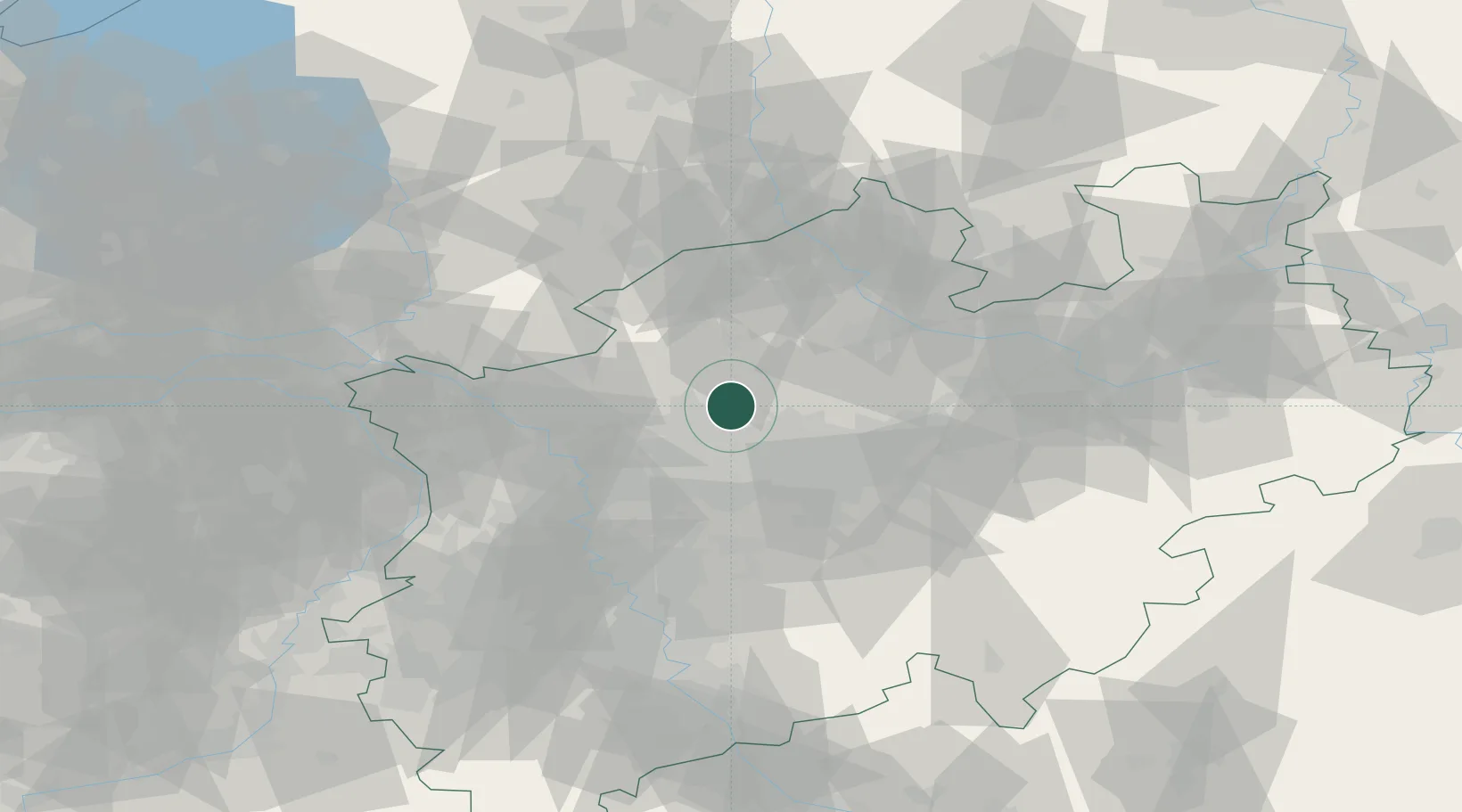
Location
Nearby Logistics Neighbours
Cities
- 1Huls8 km
- 2Brassert10 km
- 3Recklinghausen13 km
- 4Herten15 km
- 5Dorsten17 km
Airports
- 1Dortmund Airport38 km
- 2Münster Osnabrück Airport56 km
- 3Düsseldorf Airport57 km
- 4Twente Airport64 km
- 5Mönchengladbach Airport73 km
Trade Zones
- 1Freeport of Duisburg52 km
- 2Rheinische Revier SWZ107 km
- 3Freeport of Emden178 km
- 4Freeport of Bremerhaven (Freihafen Bremerhaven)186 km
- 5Luxembourg Free Port243 km
DatabookThe Record of Consolidated Knowledge
Germany beyond logistics?