Transport Functions
Multimodal
Hub Profile
Place type
Local administrative seat
Region
Baden-Wurttemberg
Population
3,486
Time zone
Europe/Berlin
Elevation
573 m
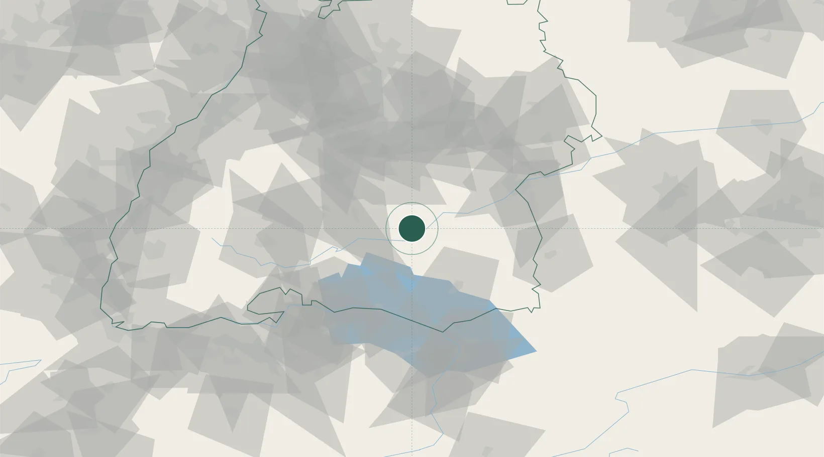
Location
Nearby Logistics Neighbours
Cities
- 1Riedlingen7 km
- 2Ertingen9 km
- 3Herbertingen11 km
- 4Sigmaringendorf12 km
- 5Hettingen15 km
Ports
- 1Porto Di Lido-Venezia383 km
- 2Nogaro392 km
- 3Porto Di Chioggia394 km
- 4Grado404 km
- 5Monfalcone412 km
Airports
Trade Zones
- 1ZFU Neuhof126 km
- 2ZFU Hautepierre133 km
- 3ZFU Mulhouse158 km
- 4Livigno Free Trade Zone188 km
- 5ZFU Belfort199 km
DatabookThe Record of Consolidated Knowledge
Germany beyond logistics?