Transport Functions
Rail
Road
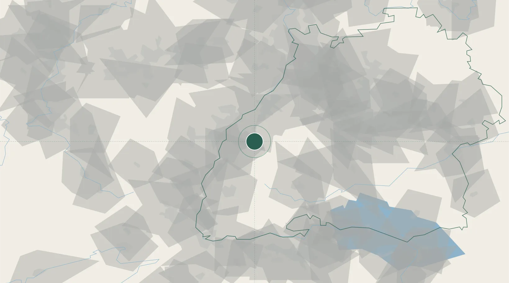
Hub Profile
Place type
Local administrative seat
Region
Baden-Wurttemberg
Population
5,599
Time zone
Europe/Berlin
Elevation
142 m
Location
Nearby Logistics Neighbours
Cities
- 1Dettingen8 km
- 2Kappelrodeck11 km
- 3Schapbach15 km
- 4Schutterwald16 km
- 5Birach17 km
Airports
- 1Lahr Airport24 km
- 2Karlsruhe Baden-Baden Airport31 km
- 3Strasbourg Airport34 km
- 4Donaueschingen-Villingen Airfield67 km
- 5Colmar Houssen airport69 km
Trade Zones
- 1ZFU Neuhof24 km
- 2ZFU Hautepierre31 km
- 3ZFU Mulhouse100 km
- 4ZFU La Cité Behren-lès-Forbach113 km
- 5ZFU Belfort134 km
DatabookThe Record of Consolidated Knowledge
Germany beyond logistics?