UN/LOCODE hub · Germany
DEDTG

Dettingen

48.5667°, 8.1167°
2
Transport functions

Transport Functions

Rail
Road
UN/LOCODE

Hub Profile

Place type
Populated place
GeoNames
Region
Baden-Wurttemberg
GeoNames
Time zone
Europe/Berlin
GeoNames
Elevation
585 m
GeoNames

Location

Location of DEDTG
Natural Earth 10m (public domain) · Baden-Wurttemberg · DEDTG · 48.57, 8.12GoogleOSMYandex

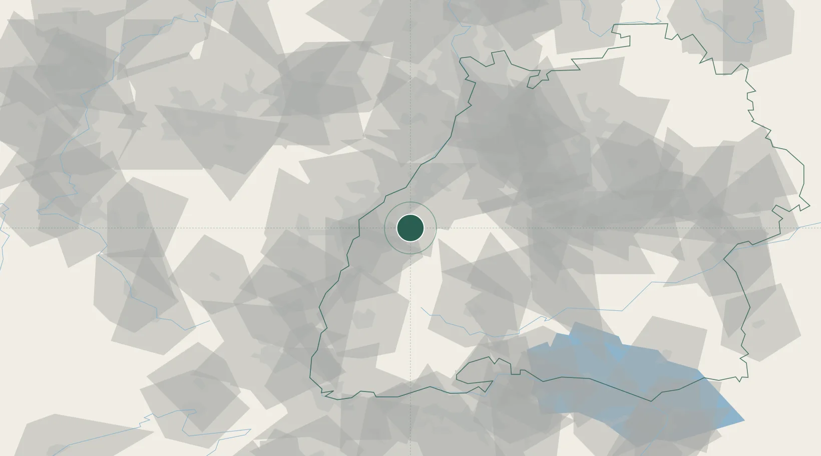
Nearby Logistics Neighbours

Cities
  1. 1Kappelrodeck4 km
  2. 2Sasbach8 km
  3. 3Bühl13 km
  4. 4Grafenberg14 km
  5. 5Freistett17 km
Nearest neighbours — logibook spatial index (haversine) over the source coordinates
Ports
  1. 1Bruxelles372 km
  2. 2Antwerpen397 km
  3. 3Hansweert435 km
  4. 4Dordrecht438 km
  5. 5Rotterdam452 km
Nearest neighbours — logibook spatial index (haversine) over the source coordinates
Airports
  1. 1Karlsruhe Baden-Baden Airport24 km
  2. 2Lahr Airport31 km
  3. 3Strasbourg Airport36 km
  4. 4Phalsbourg-Bourscheid Air Base71 km
  5. 5Donaueschingen-Villingen Airfield73 km
Nearest neighbours — logibook spatial index (haversine) over the source coordinates
Trade Zones
  1. 1ZFU Neuhof26 km
  2. 2ZFU Hautepierre31 km
  3. 3ZFU Mulhouse108 km
  4. 4ZFU La Cité Behren-lès-Forbach110 km
  5. 5ZFU Belfort141 km
Nearest neighbours — logibook spatial index (haversine) over the source coordinates
DatabookThe Record of Consolidated Knowledge
Germany beyond logistics?
Browse databook

All Sources

LocationsUN/LOCODE
UN/LOCODE — free
Portsthe NGA World Port Index
Public domain (US gov)
AirportsOurAirports
Public domain
Trade Zonesthe World Bank SEZ database
CC BY 4.0
Trade ZonesOpen Zone Map
CC BY
← Germany locations