Medium airport · Canada
Port Hardy AirportCYZT
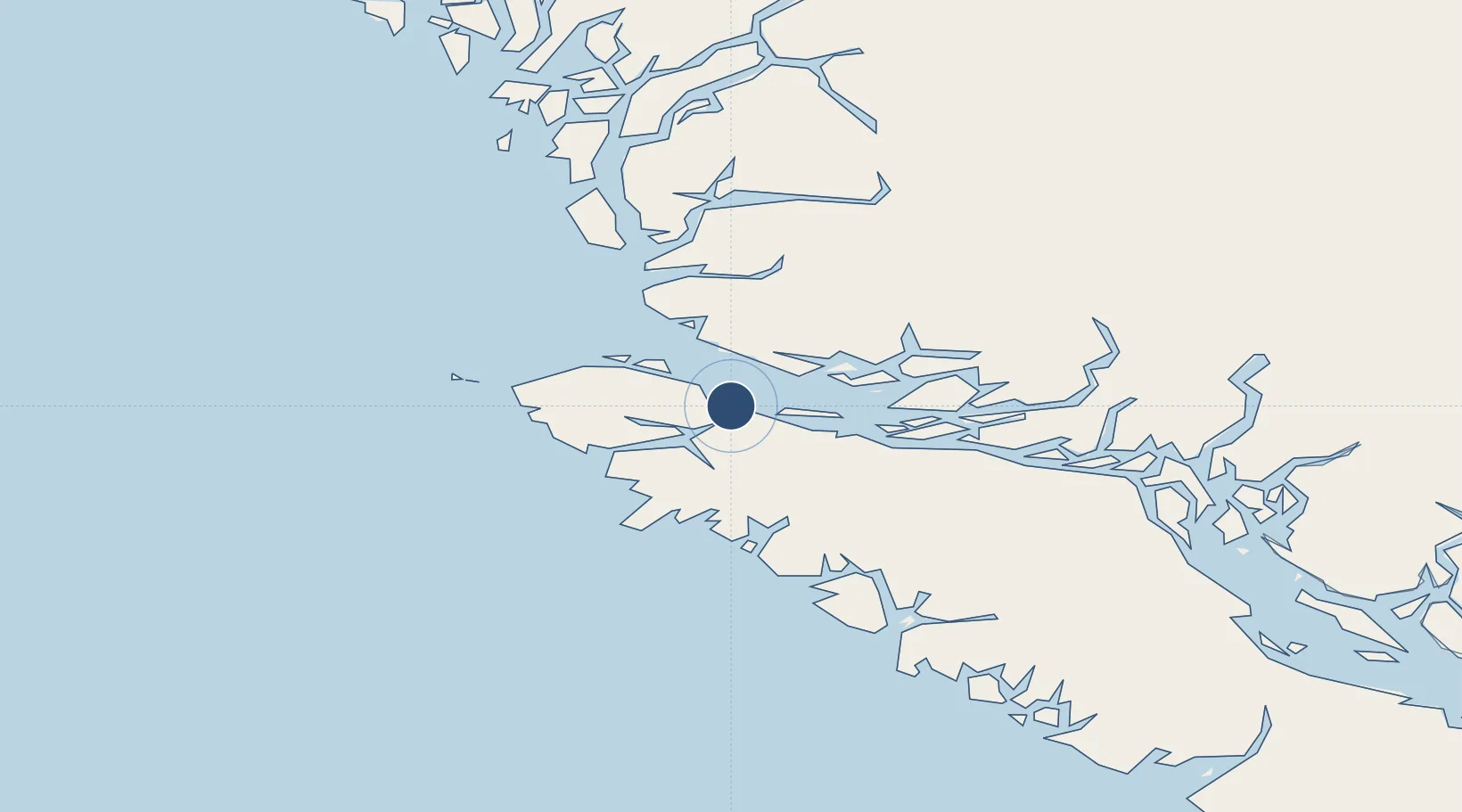
50.6806°, -127.3670°
5,000 ft
Longest runway
3
Runways
71 ft
Elevation
Runway & Layout

Radio Frequencies
A/G
122.2 MHz
MF HARDY RDO
CNTR
132.2 MHz
VANCOUVER CNTR
RCO
126.7 MHz
PACIFIC RDO
RDO
122.2 MHz
Navaids
YZT VORTAC Port Hardy 112.00 MHz
ZT NDB Port Hardy 242 kHz
Runways · 3
| Runway | Dimensions | Surface | True heading | Lit |
|---|---|---|---|---|
| 11/29 | 5,000 × 150ft | Asphalt | 129° | ✓ |
| 08/26 | 4,000 × 150ft | Asphalt | 092° | ✓ |
| 16/34 | 4,000 × 150ft | Asphalt | 178° | — |
Airport Specifications
IATA code
YZT
ICAO code
CYZT
Airport class
Medium airport
Scheduled service
Yes
Runway surface
Asphalt
Served city
Port Hardy
Location
Nearby Logistics Neighbours
Airports
Cities
- 1Coal Harbour18 km
- 2Port McNeill22 km
- 3Beaver Cove40 km
- 4Sayward109 km
- 5Campbell River167 km
Ports
- 1Coal Harbor18 km
- 2Port Mcneill23 km
- 3Alert Bay32 km
- 4Port Alice34 km
- 5Tahsis98 km
Trade Zones
- 1FTZ Vancouver Island343 km
- 2FTZ No. 128 Whatcom County404 km
- 3FTZ No. 129 Bellingham408 km
- 4FTZ No. 173 Grays Harbor449 km
- 5FTZ No. 085 Everett477 km
DatabookThe Record of Consolidated Knowledge
Canada beyond logistics?