Transport Functions
Port
Rail
Road
Hub Profile
Place type
Populated place
Region
British Columbia
Time zone
America/Vancouver
Elevation
11 m
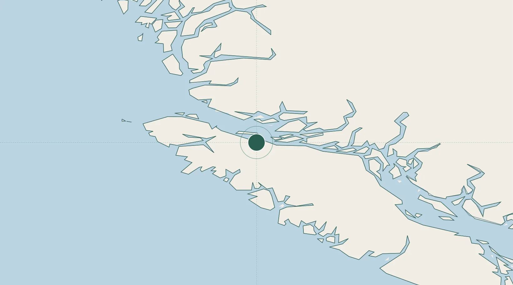
Location
Nearby Logistics Neighbours
Cities
- 1Port McNeill18 km
- 2Coal Harbour52 km
- 3Sayward70 km
- 4Campbell River128 km
- 5Denman Island183 km
Ports
- 1Alert Bay9 km
- 2Port Mcneill17 km
- 3Port Alice44 km
- 4Coal Harbor52 km
- 5Tahsis68 km
Airports
Trade Zones
- 1FTZ Vancouver Island304 km
- 2FTZ No. 128 Whatcom County364 km
- 3FTZ No. 129 Bellingham369 km
- 4FTZ No. 173 Grays Harbor416 km
- 5FTZ No. 085 Everett438 km
DatabookThe Record of Consolidated Knowledge
Canada beyond logistics?