Small airport · Canada

Port McNeill AirportCAT5

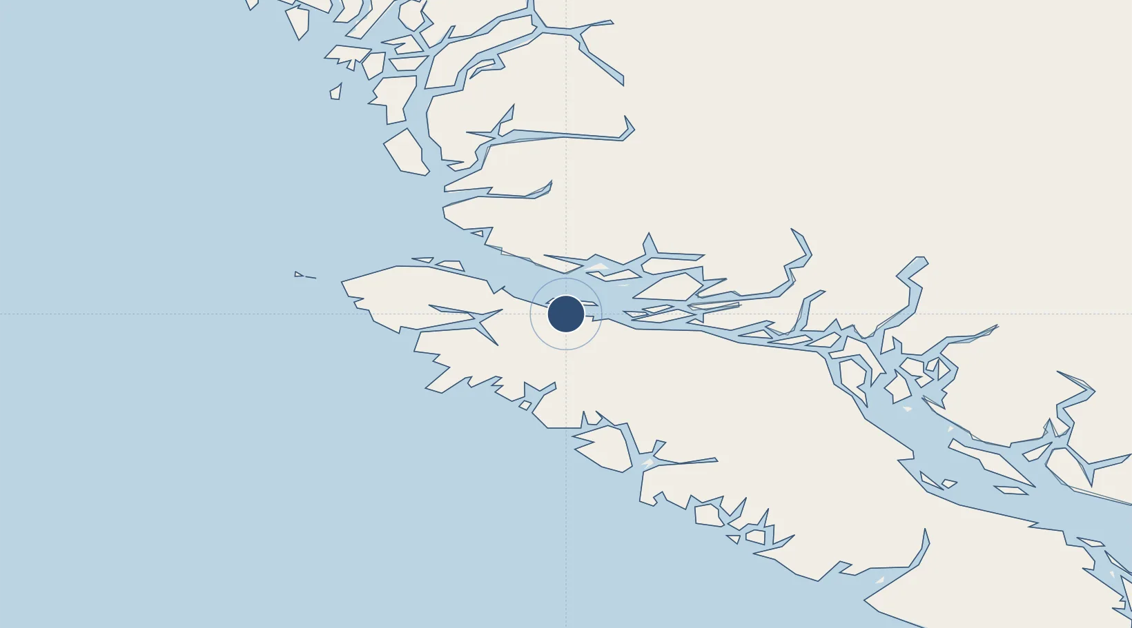
50.5735°, -127.0277°
3,600 ft
Longest runway
2
Runways
225 ft
Elevation

Runway & Layout

Port McNeill Airport runway & taxiway layout
Runway & taxiway layout — OpenStreetMap (ODbL) / OurAirports

Runways · 2

RunwayDimensions SurfaceTrue headingLit
11/29 3,600 × 75ft GRAVEL
06/24 2,400 × 36ft ASPHALT
OurAirports

Airport Specifications

IATA code
YMP
OurAirports
ICAO code
CAT5
OurAirports
Airport class
Small airport
OurAirports
Scheduled service
Yes
OurAirports
Runway surface
GRAVEL
OurAirports
Served city
Port McNeill
OurAirports

Location

Location of CAT5
Natural Earth 10m (public domain) · British Columbia · CAT5 · 50.57, -127.03GoogleOSMYandex

Nearby Logistics Neighbours

Airports
  1. 1Alert Bay Airport8 km
  2. 2Port Hardy Airport27 km
  3. 3Greenway Sound Seaplane Base35 km
  4. 4Sullivan Bay Seaplane Base37 km
  5. 5Gilford Island/Echo Bay Seaplane Base44 km
Nearest neighbours — logibook spatial index (haversine) over the source coordinates
Cities
  1. 1Port McNeill5 km
  2. 2Beaver Cove13 km
  3. 3Coal Harbour39 km
  4. 4Sayward83 km
  5. 5Campbell River141 km
Nearest neighbours — logibook spatial index (haversine) over the source coordinates
Ports
  1. 1Port Mcneill4 km
  2. 2Alert Bay7 km
  3. 3Port Alice37 km
  4. 4Coal Harbor39 km
  5. 5Tahsis77 km
Nearest neighbours — logibook spatial index (haversine) over the source coordinates
Trade Zones
  1. 1FTZ Vancouver Island317 km
  2. 2FTZ No. 128 Whatcom County377 km
  3. 3FTZ No. 129 Bellingham382 km
  4. 4FTZ No. 173 Grays Harbor427 km
  5. 5FTZ No. 085 Everett451 km
Nearest neighbours — logibook spatial index (haversine) over the source coordinates
DatabookThe Record of Consolidated Knowledge
Canada beyond logistics?
Browse databook

All Sources

AirportsOurAirports
Public domain
Portsthe NGA World Port Index
Public domain (US gov)
LocationsUN/LOCODE
UN/LOCODE — free
Trade Zonesthe World Bank SEZ database
CC BY 4.0
Trade ZonesOpen Zone Map
CC BY
InfrastructureOpenStreetMap
ODbL 1.0
← Canada airports