Transport Functions
Port
Rail
Road
Hub Profile
Region
NW
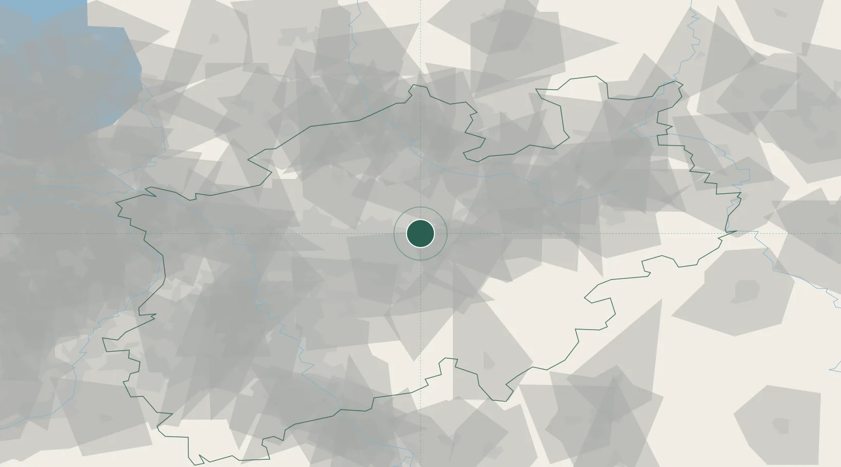
Location
Nearby Logistics Neighbours
Cities
- 1Hamm12 km
- 2Nordkirchen14 km
- 3Dortmund17 km
- 4Waltrop17 km
- 5Drensteinfurt19 km
Airports
- 1Dortmund Airport13 km
- 2Münster Osnabrück Airport56 km
- 3Paderborn Lippstadt Airport67 km
- 4Bielefeld Airport72 km
- 5Düsseldorf Airport72 km
Trade Zones
- 1Freeport of Duisburg76 km
- 2Rheinische Revier SWZ120 km
- 3Freeport of Bremerhaven (Freihafen Bremerhaven)179 km
- 4Freeport of Emden192 km
- 5Luxembourg Free Port244 km
DatabookThe Record of Consolidated Knowledge
Germany beyond logistics?