Transport Functions
Multimodal
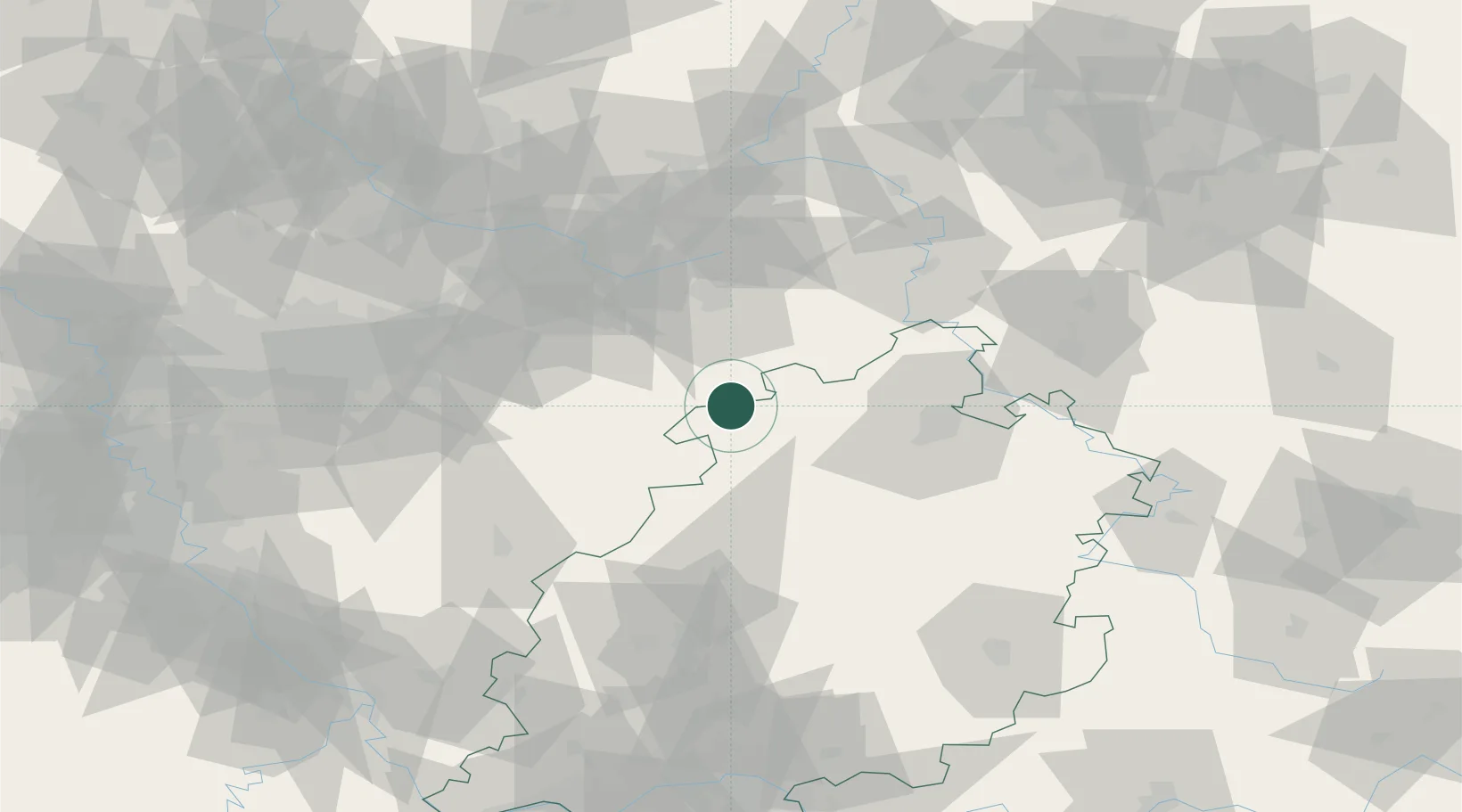
Hub Profile
Region
HE
Location
Nearby Logistics Neighbours
Cities
- 1Bad Arolsen15 km
- 2Volkmarsen22 km
- 3Münden24 km
- 4Büren26 km
- 5Wolfhagen26 km
Airports
- 1Paderborn Lippstadt Airport30 km
- 2Kassel Airport42 km
- 3Fritzlar Army Airfield44 km
- 4Bielefeld Airport69 km
- 5Dortmund Airport84 km
Trade Zones
- 1Freeport of Duisburg154 km
- 2Rheinische Revier SWZ176 km
- 3Freeport of Bremerhaven (Freihafen Bremerhaven)192 km
- 4Freeport of Emden245 km
- 5Luxembourg Free Port265 km
DatabookThe Record of Consolidated Knowledge
Germany beyond logistics?