Transport Functions
Rail
Road
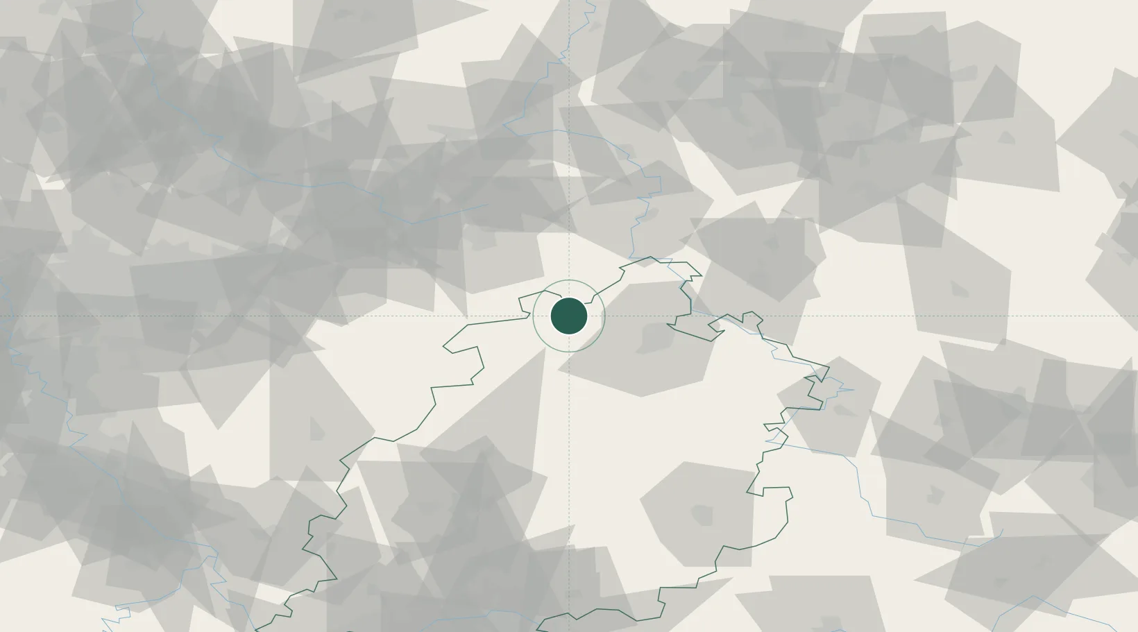
Hub Profile
Place type
Populated place
Region
Hesse
Population
6,959
Time zone
Europe/Berlin
Elevation
189 m
Location
Nearby Logistics Neighbours
Cities
- 1Bad Arolsen8 km
- 2Wolfhagen10 km
- 3Warburg12 km
- 4Altenstadt16 km
- 5Borgentreich21 km
Airports
- 1Kassel Airport19 km
- 2Fritzlar Army Airfield34 km
- 3Paderborn Lippstadt Airport42 km
- 4Bielefeld Airport74 km
- 5Bückeburg Air Base98 km
Trade Zones
DatabookThe Record of Consolidated Knowledge
Germany beyond logistics?