UN/LOCODE hub · Germany
DEMUD

Münden

51.1500°, 8.7500°
2
Transport functions

Transport Functions

Rail
Road
UN/LOCODE

Hub Profile

Region
HE
GeoNames

Location

Location of DEMUD
Natural Earth 10m (public domain) · HE · DEMUD · 51.15, 8.75GoogleOSMYandex

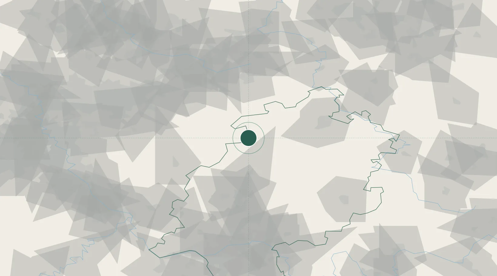
Nearby Logistics Neighbours

Cities
  1. 1Battenberg16 km
  2. 2Burgwald17 km
  3. 3Diemelsee24 km
  4. 4Edertal25 km
  5. 5Bad Arolsen30 km
Nearest neighbours — logibook spatial index (haversine) over the source coordinates
Ports
  1. 1Bremen221 km
  2. 2Oldenburg222 km
  3. 3Elsfleth233 km
  4. 4Papenburg236 km
  5. 5Brake244 km
Nearest neighbours — logibook spatial index (haversine) over the source coordinates
Airports
  1. 1Fritzlar Army Airfield38 km
  2. 2Paderborn Lippstadt Airport52 km
  3. 3Kassel Airport54 km
  4. 4Siegerland Airport68 km
  5. 5Dortmund Airport89 km
Nearest neighbours — logibook spatial index (haversine) over the source coordinates
Trade Zones
  1. 1Freeport of Duisburg154 km
  2. 2Rheinische Revier SWZ168 km
  3. 3Freeport of Bremerhaven (Freihafen Bremerhaven)216 km
  4. 4Luxembourg Free Port246 km
  5. 5ZFU La Cité Behren-lès-Forbach256 km
Nearest neighbours — logibook spatial index (haversine) over the source coordinates
DatabookThe Record of Consolidated Knowledge
Germany beyond logistics?
Browse databook

All Sources

LocationsUN/LOCODE
UN/LOCODE — free
Portsthe NGA World Port Index
Public domain (US gov)
AirportsOurAirports
Public domain
Trade Zonesthe World Bank SEZ database
CC BY 4.0
Trade ZonesOpen Zone Map
CC BY
← Germany locations