Transport Functions
Rail
Road
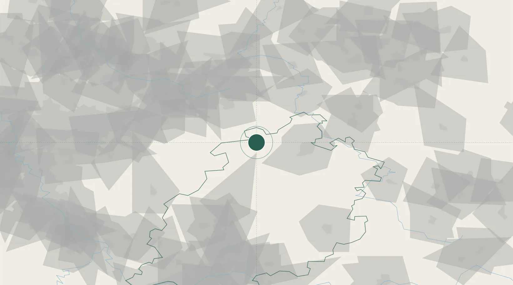
Hub Profile
Place type
Populated place
Region
Hesse
Population
16,854
Time zone
Europe/Berlin
Elevation
292 m
Location
Nearby Logistics Neighbours
Cities
- 1Volkmarsen8 km
- 2Wolfhagen12 km
- 3Diemelsee15 km
- 4Altenstadt17 km
- 5Warburg18 km
Airports
- 1Kassel Airport27 km
- 2Fritzlar Army Airfield34 km
- 3Paderborn Lippstadt Airport39 km
- 4Bielefeld Airport74 km
- 5Siegerland Airport98 km
Trade Zones
DatabookThe Record of Consolidated Knowledge
Germany beyond logistics?