Transport Functions
Rail
Road
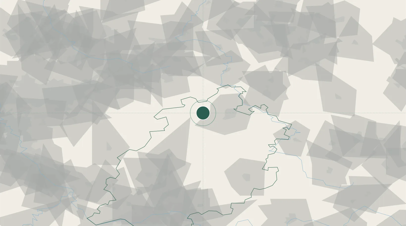
Hub Profile
Place type
Populated place
Region
Hesse
Population
13,266
Time zone
Europe/Berlin
Elevation
283 m
Location
Nearby Logistics Neighbours
Cities
- 1Altenstadt6 km
- 2Volkmarsen10 km
- 3Bad Arolsen12 km
- 4Edertal17 km
- 5Gudensberg20 km
Airports
- 1Kassel Airport19 km
- 2Fritzlar Army Airfield24 km
- 3Paderborn Lippstadt Airport50 km
- 4Bielefeld Airport84 km
- 5Eisenach-Kindel Airport99 km
Trade Zones
- 1Freeport of Duisburg180 km
- 2Freeport of Bremerhaven (Freihafen Bremerhaven)199 km
- 3Rheinische Revier SWZ200 km
- 4Freeport of Emden262 km
- 5Luxembourg Free Port280 km
DatabookThe Record of Consolidated Knowledge
Germany beyond logistics?