Transport Functions
Rail
Road
Airport
Hub Profile
Region
NW
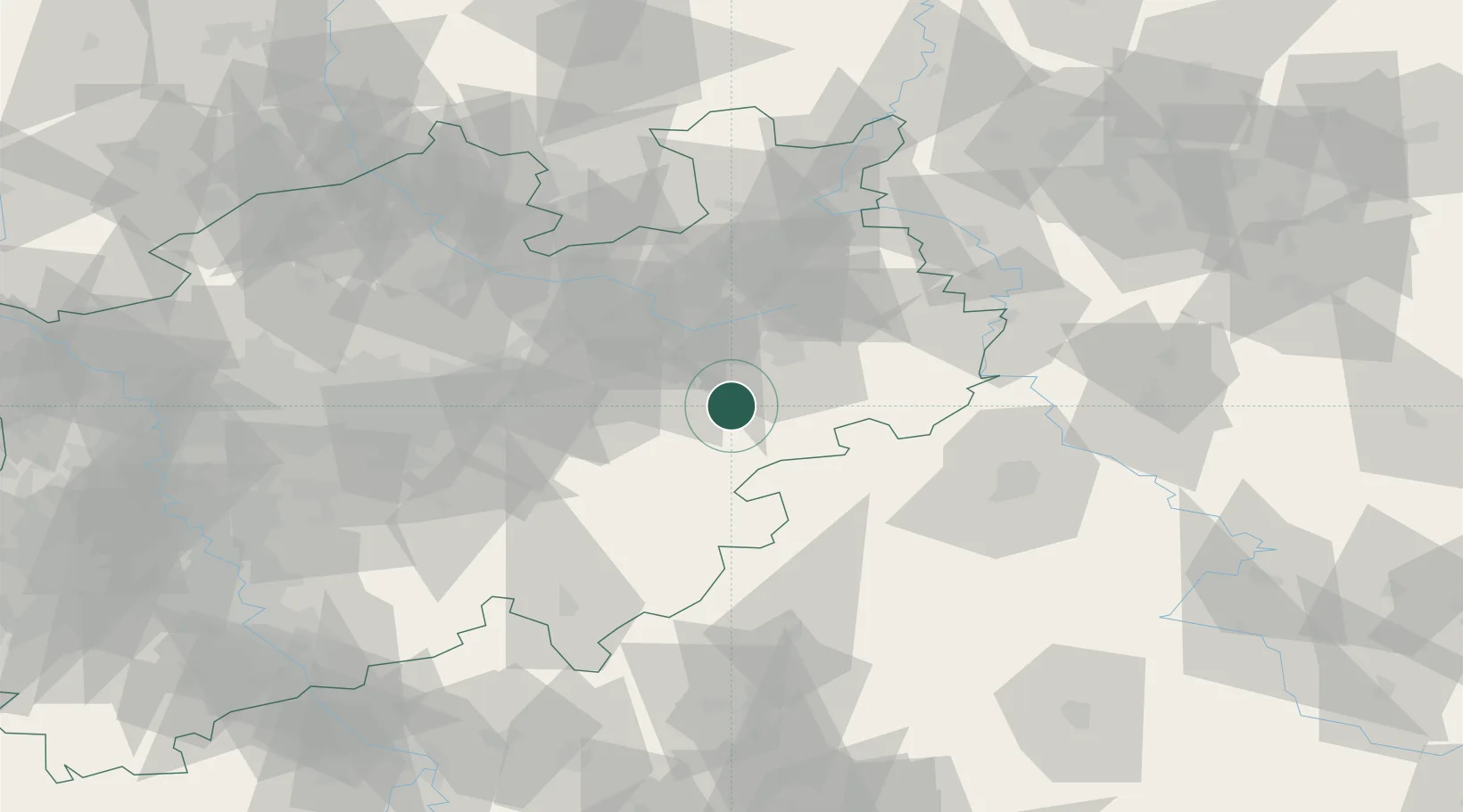
Location
Nearby Logistics Neighbours
Cities
- 1Sennelager25 km
- 2Diemelsee26 km
- 3Bad Sassendorf28 km
- 4Hövelhof30 km
- 5Lippetal35 km
Airports
- 1Paderborn Lippstadt Airport8 km
- 2Bielefeld Airport46 km
- 3Kassel Airport59 km
- 4Dortmund Airport66 km
- 5Fritzlar Army Airfield70 km
Trade Zones
DatabookThe Record of Consolidated Knowledge
Germany beyond logistics?