Transport Functions
Rail
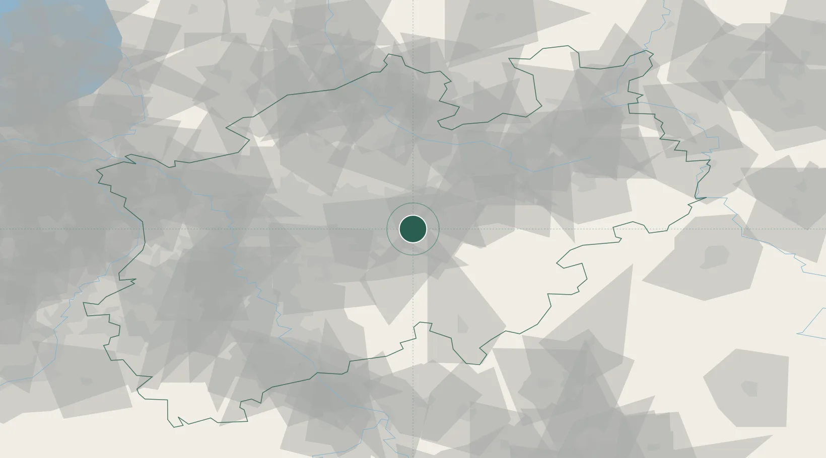
Hub Profile
Region
NW
Location
Nearby Logistics Neighbours
Cities
- 1Werl15 km
- 2Letmathe15 km
- 3Balve17 km
- 4Nachrodt-Wiblingwerde18 km
- 5Rünthe20 km
Airports
- 1Dortmund Airport11 km
- 2Paderborn Lippstadt Airport62 km
- 3Düsseldorf Airport71 km
- 4Münster Osnabrück Airport74 km
- 5Bielefeld Airport78 km
Trade Zones
- 1Freeport of Duisburg81 km
- 2Rheinische Revier SWZ114 km
- 3Freeport of Bremerhaven (Freihafen Bremerhaven)194 km
- 4Freeport of Emden211 km
- 5Luxembourg Free Port230 km
DatabookThe Record of Consolidated Knowledge
Germany beyond logistics?