Transport Functions
Port
Multimodal
Hub Profile
Place type
Populated place
Region
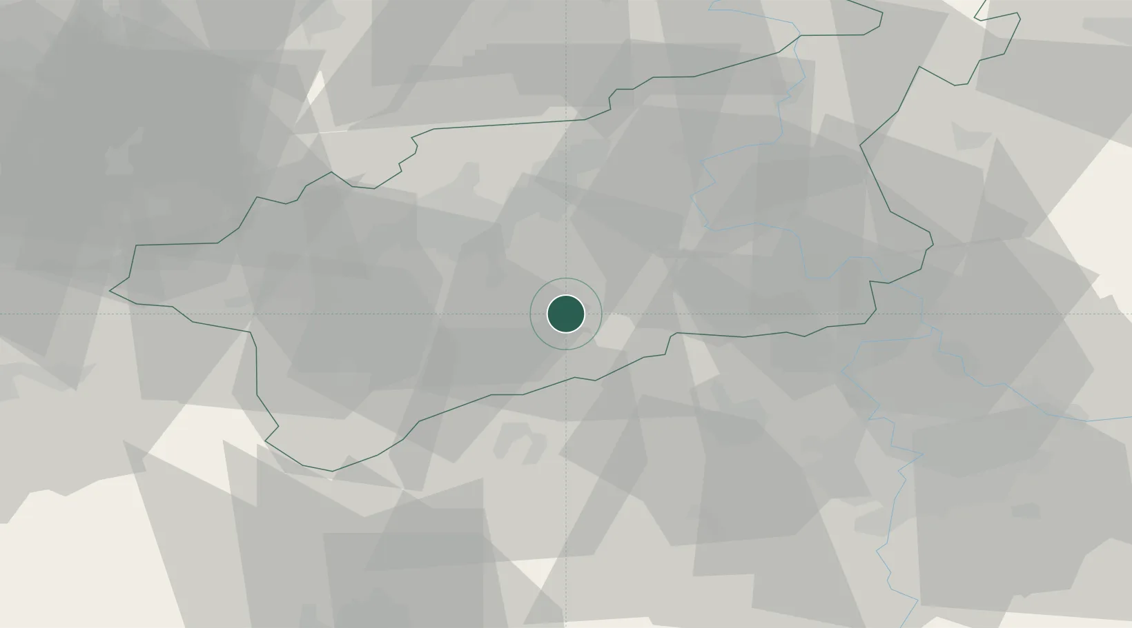
Ústecký kraj
Population
1,329
Time zone
Europe/Prague
Elevation
184 m
Location
Nearby Logistics Neighbours
Cities
- 1Postoloprty6 km
- 2Libceves10 km
- 3Havran16 km
- 4Jencice20 km
- 5Bílina21 km
Ports
- 1Szczecin343 km
- 2Police360 km
- 3Swinoujscie396 km
- 4Wolgast410 km
- 5Wismar424 km
Airports
- 1Václav Havel Airport Prague44 km
- 2Vodochody Airport46 km
- 3Prague–Kbely Air Base60 km
- 4Karlovy Vary Airport66 km
- 5Kostomlaty Airstrip82 km
Trade Zones
DatabookThe Record of Consolidated Knowledge
Czechia beyond logistics?