Transport Functions
Port
Rail
Road
Hub Profile
Place type
Populated place
Region
Ústecký kraj
Population
14,497
Time zone
Europe/Prague
Elevation
214 m
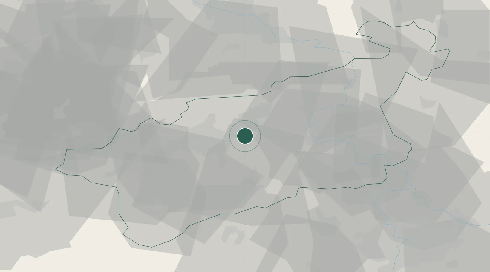
Location
Nearby Logistics Neighbours
Cities
- 1Rtyne nad Bílinou8 km
- 2Haj u Duchcova9 km
- 3Sezemice12 km
- 4Libceves12 km
- 5Havran18 km
Ports
- 1Szczecin323 km
- 2Police340 km
- 3Swinoujscie376 km
- 4Wolgast389 km
- 5Wismar404 km
Airports
- 1Vodochody Airport58 km
- 2Václav Havel Airport Prague61 km
- 3Dresden Airport65 km
- 4Karlovy Vary Airport72 km
- 5Prague–Kbely Air Base73 km
Trade Zones
DatabookThe Record of Consolidated Knowledge
Czechia beyond logistics?