Transport Functions
Port
Multimodal
Hub Profile
Place type
Populated place
Region
Ústecký kraj
Population
316
Time zone
Europe/Prague
Elevation
227 m
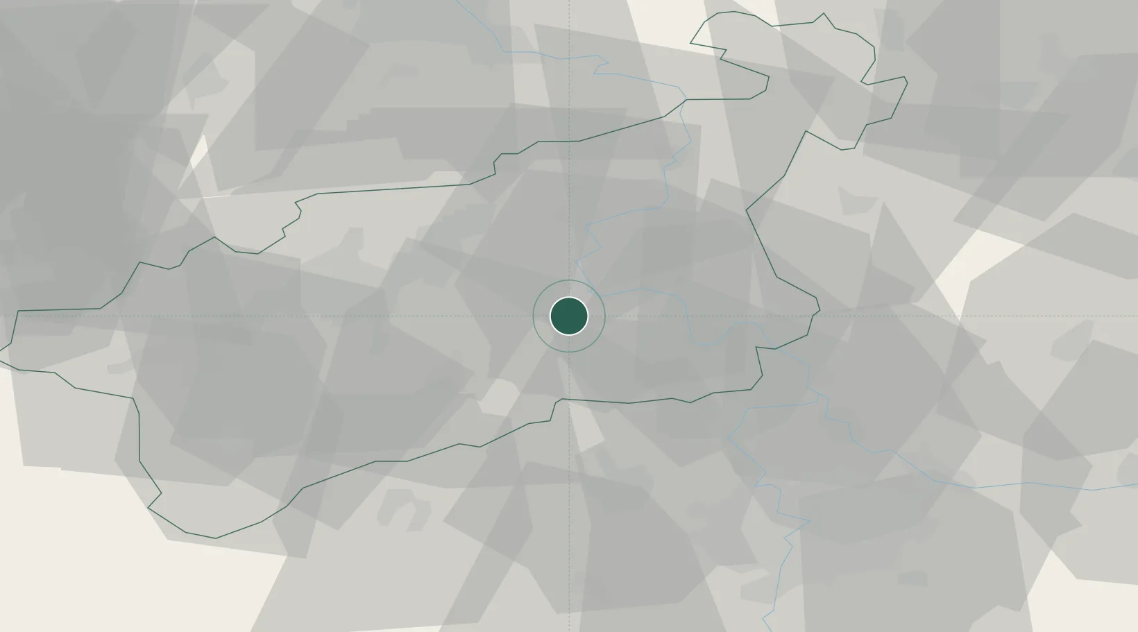
Location
Nearby Logistics Neighbours
Cities
- 1Bohusovice nad Ohri10 km
- 2Terezin10 km
- 3Ceské Kopisty12 km
- 4Libceves14 km
- 5Sezemice17 km
Ports
- 1Szczecin328 km
- 2Police345 km
- 3Swinoujscie382 km
- 4Wolgast397 km
- 5Wismar418 km
Airports
- 1Vodochody Airport40 km
- 2Václav Havel Airport Prague46 km
- 3Prague–Kbely Air Base55 km
- 4Kostomlaty Airstrip71 km
- 5Dresden Airport74 km
Trade Zones
DatabookThe Record of Consolidated Knowledge
Czechia beyond logistics?