Transport Functions
Multimodal
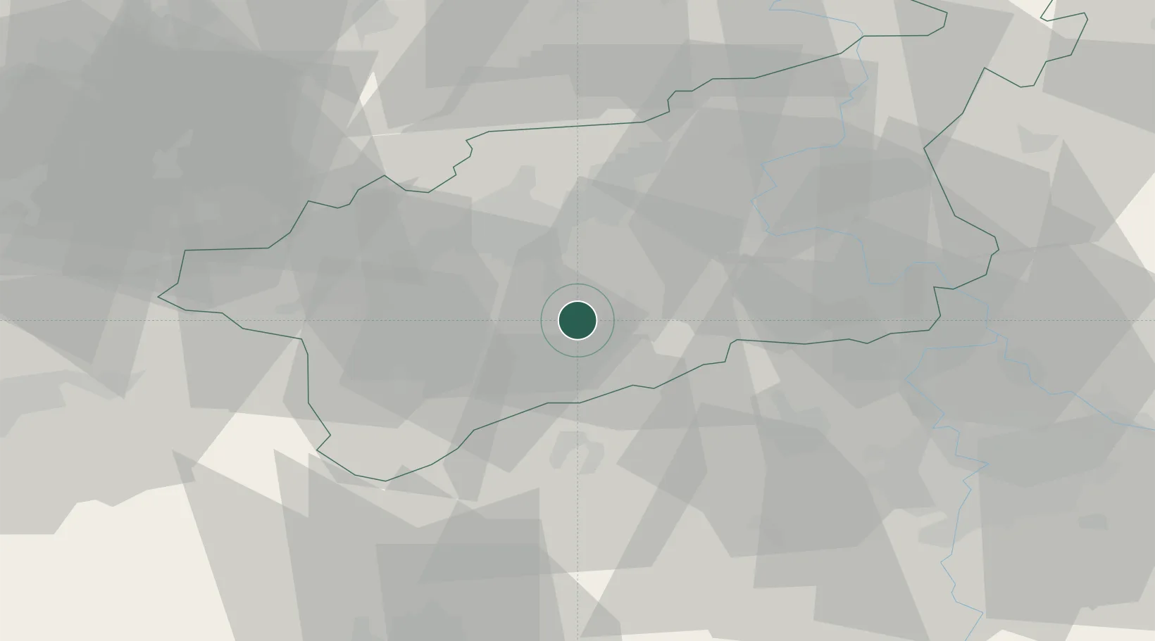
Hub Profile
Place type
Populated place
Region
Ústecký kraj
Population
4,924
Time zone
Europe/Prague
Elevation
193 m
Location
Nearby Logistics Neighbours
Cities
- 1Dobromerice6 km
- 2Havran11 km
- 3Libceves12 km
- 4Bílina21 km
- 5Krusovice23 km
Ports
- 1Szczecin344 km
- 2Police361 km
- 3Swinoujscie397 km
- 4Wolgast410 km
- 5Wismar422 km
Airports
- 1Václav Havel Airport Prague49 km
- 2Vodochody Airport51 km
- 3Karlovy Vary Airport60 km
- 4Prague–Kbely Air Base65 km
- 5Plzeň-Líně Airport83 km
Trade Zones
DatabookThe Record of Consolidated Knowledge
Czechia beyond logistics?