Transport Functions
Road
Multimodal
Hub Profile
Place type
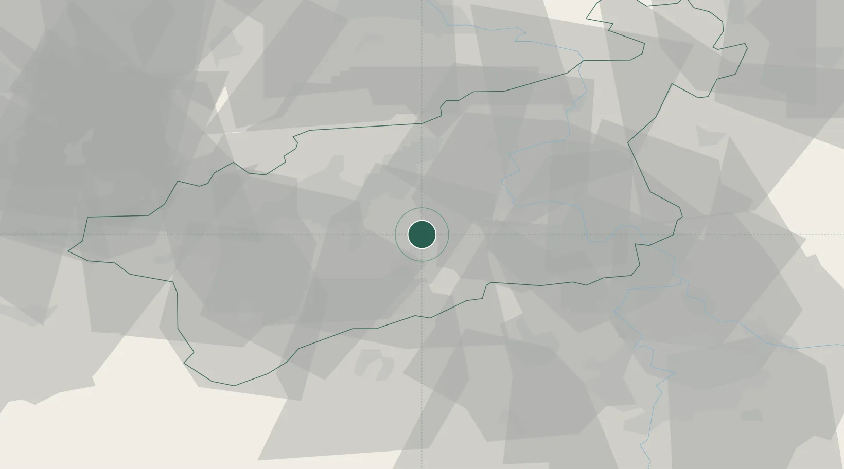
Populated place
Region
Ústecký kraj
Population
862
Time zone
Europe/Prague
Elevation
307 m
Location
Nearby Logistics Neighbours
Cities
- 1Dobromerice10 km
- 2Bílina12 km
- 3Postoloprty12 km
- 4Jencice14 km
- 5Havran17 km
Ports
- 1Szczecin334 km
- 2Police350 km
- 3Swinoujscie387 km
- 4Wolgast400 km
- 5Wismar416 km
Airports
- 1Vodochody Airport48 km
- 2Václav Havel Airport Prague49 km
- 3Prague–Kbely Air Base62 km
- 4Karlovy Vary Airport71 km
- 5Dresden Airport76 km
Trade Zones
DatabookThe Record of Consolidated Knowledge
Czechia beyond logistics?