Seaport · Poland

SwinoujsciePLSWI

53.9167°, 14.2667°
14.0 m
Channel depth
12.1
Port liner connectivity
Swinoujscie is also a UN/LOCODE logistics hub →

Channel & Berth Profile

SEA LEVEL (CD)CHANNEL BEDAnchorage · 6.4 mCargo pier · 6.4 mOil terminal · 9.4 mChannel · 14.0 m
NGA World Port Index

Pilotage, Tugs & Services

Pilotage compulsoryYES
Pilotage availableYES
Pilotage advisableYES
Tug assistanceYES
Shore powerYES
Potable waterYES
Diesel bunkersYES
MedicalYES
Garbage disposalYES
NGA World Port Index

Facilities & Capabilities

ContainerYES
Ro-RoYES
Liquid bulkYES
Dry bulkYES
Oil terminalNO
Break bulkYES
Dry dockNO
RepairsNO
BunkeringYES
Rail linkYES
Dangerous cargo
ISPS security
NGA World Port Index

Harbour Specifications

Harbour size
Small
NGA World Port Index
Harbour type
River (Natural)
NGA World Port Index
Shelter
Good
NGA World Port Index
Water body
Baltic Sea; North Atlantic Ocean
NGA World Port Index
Tidal range
2 m
NGA World Port Index
Overhead limit
Yes
NGA World Port Index
Pilotage
Yes
NGA World Port Index

Liner Connectivity

12.1
PLSCI

Port Liner Shipping Connectivity Index for Swinoujscie, as published by UNCTAD for the latest available quarter. Higher values indicate stronger scheduled liner-shipping integration.

Shown relative to the highest per-port PLSCI in the dataset (1,657.9).
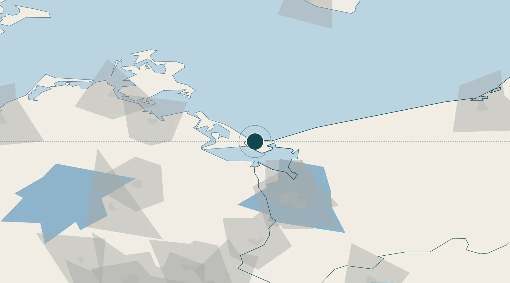
UNCTAD · Port Liner Shipping Connectivity Index

Location

Location of PLSWI
Natural Earth 10m (public domain) · West Pomeranian · PLSWI · 53.92, 14.27GoogleOSMYandex

Nearby Logistics Neighbours

Ports
  1. 1Wolgast35 km
  2. 2Police44 km
  3. 3Szczecin59 km
  4. 4Sassnitz78 km
  5. 5Stralsund88 km
Nearest neighbours — logibook spatial index (haversine) over the source coordinates
Cities
  1. 1Karsibór8 km
  2. 2Miedzyzdroje12 km
  3. 3Nowe Warpno21 km
  4. 4Grambin23 km
  5. 5Usedom24 km
Nearest neighbours — logibook spatial index (haversine) over the source coordinates
Airports
  1. 1Heringsdorf Airport9 km
  2. 2Solidarity Szczecin–Goleniów Airport56 km
  3. 3Neubrandenburg Trollenhagen Airport72 km
  4. 4Swidwin Military Air Base103 km
  5. 5Rostock-Laage Airport130 km
Nearest neighbours — logibook spatial index (haversine) over the source coordinates
Trade Zones
  1. 1Swinoujscie Duty Free Zone2 km
  2. 2Szczecin Duty Free Zone59 km
  3. 3Kostrzyń-Słubice SEZ149 km
  4. 4Słupsk SEZ (Słupska SSE)190 km
  5. 5MTS Malmö Transport and Spedition202 km
Nearest neighbours — logibook spatial index (haversine) over the source coordinates
DatabookThe Record of Consolidated Knowledge
Poland beyond logistics?
Browse databook

All Sources

Portsthe NGA World Port Index
Public domain (US gov)
Logistics performanceUNCTAD
CC BY 3.0 IGO
AirportsOurAirports
Public domain
LocationsUN/LOCODE
UN/LOCODE — free
Trade Zonesthe World Bank SEZ database
CC BY 4.0
Trade ZonesOpen Zone Map
CC BY
← Poland ports