Large airport · Czechia

Karlovy Vary AirportLKKV
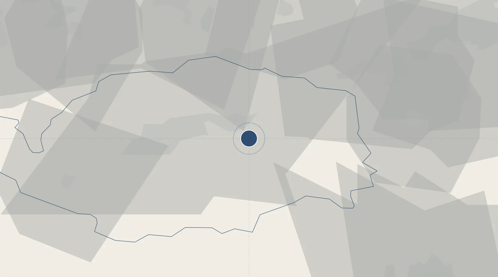
50.2030°, 12.9150°
7,054 ft
Longest runway
2
Runways
1,989 ft
Elevation

Runway & Layout

Karlovy Vary Airport runway & taxiway layout
Runway & taxiway layout — OpenStreetMap (ODbL) / OurAirports

Radio Frequencies

ATIS
118.955 MHz
TWR
121.23 MHz
AFIS
121.225 MHz
INFO
RDR
119.955 MHz
RADAR
OurAirports

Navaids

KVY VOR-DME Karlovy Vary 111.55 MHz
OurAirports

Runways · 2

RunwayDimensions SurfaceTrue headingLit
11/29 7,054 × 98ft Asphalt 113°
12/30 2,624 × 59ft grass 110°
OurAirports

Airport Specifications

IATA code
KLV
OurAirports
ICAO code
LKKV
OurAirports
Airport class
Large airport
OurAirports
Scheduled service
Yes
OurAirports
Runway surface
Asphalt
OurAirports
Served city
Karlovy Vary
OurAirports

Location

Location of LKKV
Natural Earth 10m (public domain) · Karlovarský · LKKV · 50.20, 12.91GoogleOSMYandex

Nearby Logistics Neighbours

Airports
  1. 1Plzeň-Líně Airport64 km
  2. 2Hof-Plauen Airport76 km
  3. 3Grafenwöhr Army Air Field90 km
  4. 4Leipzig–Altenburg Airport91 km
  5. 5Bayreuth Airport94 km
Nearest neighbours — logibook spatial index (haversine) over the source coordinates
Cities
  1. 1Dalovice5 km
  2. 2Stará Role8 km
  3. 3Horní Slavkov10 km
  4. 4Hroznetin11 km
  5. 5Nová Role12 km
Nearest neighbours — logibook spatial index (haversine) over the source coordinates
Ports
  1. 1Szczecin375 km
  2. 2Police391 km
  3. 3Wismar423 km
  4. 4Swinoujscie423 km
  5. 5Hamburg425 km
Nearest neighbours — logibook spatial index (haversine) over the source coordinates
Trade Zones
  1. 1Podbořany Industrial Zone35 km
  2. 2Žatec - Triangle Strategic Industrial Zone48 km
  3. 3Most - Joseph Industrial Zone60 km
  4. 4Freeport of Deggendorf151 km
  5. 5Kolín - Ovčáry Industrial Zone165 km
Nearest neighbours — logibook spatial index (haversine) over the source coordinates
DatabookThe Record of Consolidated Knowledge
Czechia beyond logistics?
Browse databook

All Sources

AirportsOurAirports
Public domain
Portsthe NGA World Port Index
Public domain (US gov)
LocationsUN/LOCODE
UN/LOCODE — free
Trade Zonesthe World Bank SEZ database
CC BY 4.0
Trade ZonesOpen Zone Map
CC BY
InfrastructureOpenStreetMap
ODbL 1.0
← Czechia airports