Medium airport · Czechia

Kostomlaty AirstripCZ-0244
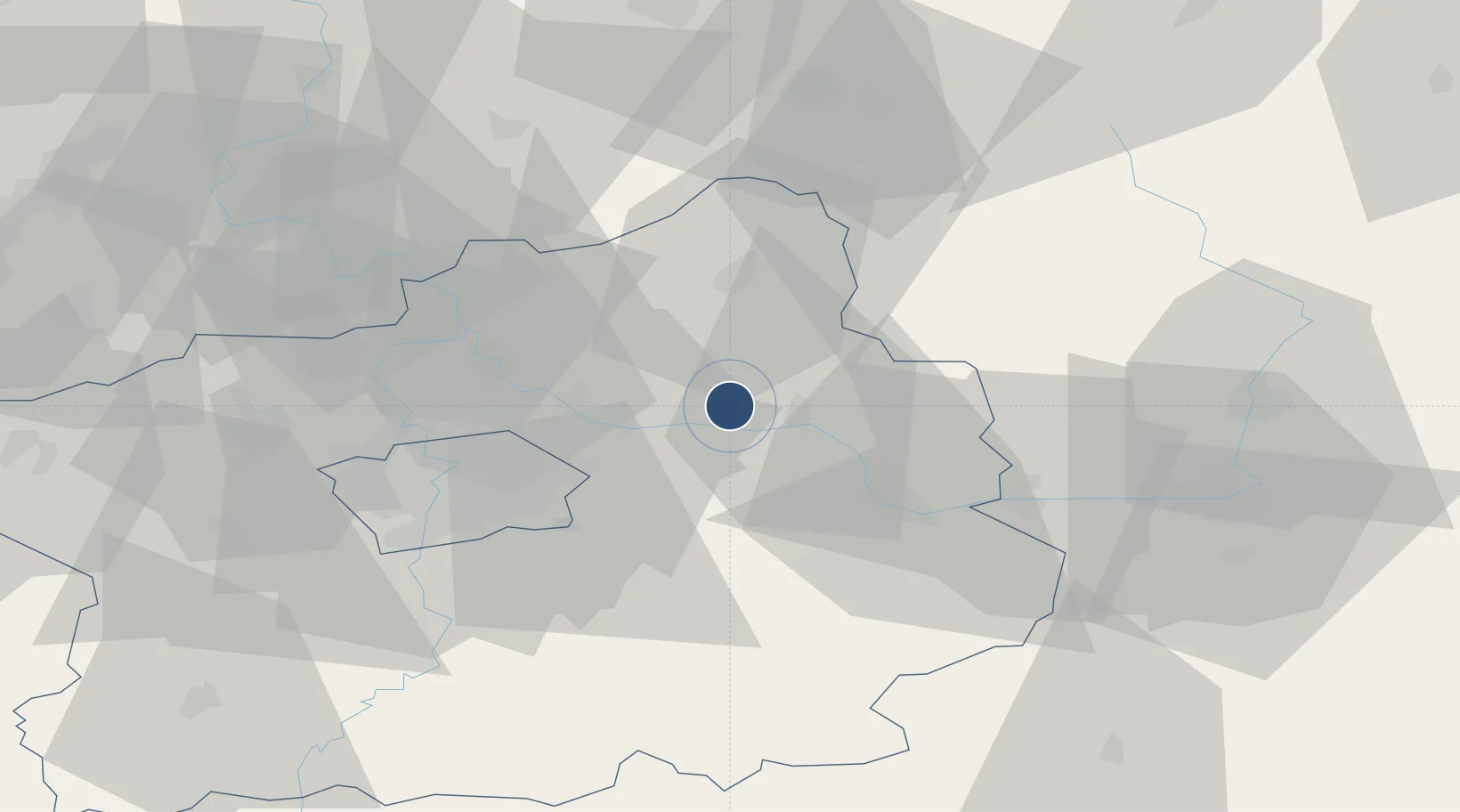
50.2084°, 14.9259°
1,500 ft
Longest runway
1
Runways

Runway & Layout

Kostomlaty Airstrip runway & taxiway layout
Runway & taxiway layout — OpenStreetMap (ODbL) / OurAirports

Runways · 1

RunwayDimensions SurfaceTrue headingLit
10/28 1,500 × 50ft Grass
OurAirports

Airport Specifications

Airport class
Medium airport
OurAirports
Scheduled service
No
OurAirports
Runway surface
Grass
OurAirports

Location

Location of CZ-0244
Natural Earth 10m (public domain) · Středočeský · CZ-0244 · 50.21, 14.93GoogleOSMYandex

Nearby Logistics Neighbours

Airports
  1. 1Prague–Kbely Air Base29 km
  2. 2Vodochody Airport38 km
  3. 3Čáslav Air Base44 km
  4. 4Václav Havel Airport Prague49 km
  5. 5Pardubice Airport62 km
Nearest neighbours — logibook spatial index (haversine) over the source coordinates
Cities
  1. 1Lysá nad Labem7 km
  2. 2Lipnik u Hrotovic7 km
  3. 3Zverínek8 km
  4. 4Sadská9 km
  5. 5Benátky nad Jizerou11 km
Nearest neighbours — logibook spatial index (haversine) over the source coordinates
Ports
  1. 1Szczecin358 km
  2. 2Police374 km
  3. 3Swinoujscie415 km
  4. 4Wolgast434 km
  5. 5Kolobrzeg448 km
Nearest neighbours — logibook spatial index (haversine) over the source coordinates
Trade Zones
  1. 1Kolín - Ovčáry Industrial Zone26 km
  2. 2Industrial Zone Kutna Hora40 km
  3. 3Pardubice City Industrial Zone67 km
  4. 4Světlá nad Sázavou Municipal Industrial Zone70 km
  5. 5Most - Joseph Industrial Zone96 km
Nearest neighbours — logibook spatial index (haversine) over the source coordinates
DatabookThe Record of Consolidated Knowledge
Czechia beyond logistics?
Browse databook

All Sources

AirportsOurAirports
Public domain
Portsthe NGA World Port Index
Public domain (US gov)
LocationsUN/LOCODE
UN/LOCODE — free
Trade Zonesthe World Bank SEZ database
CC BY 4.0
Trade ZonesOpen Zone Map
CC BY
InfrastructureOpenStreetMap
ODbL 1.0
← Czechia airports