Free Trade Zone · Czechia

Industrial Zone Kutna Hora Active
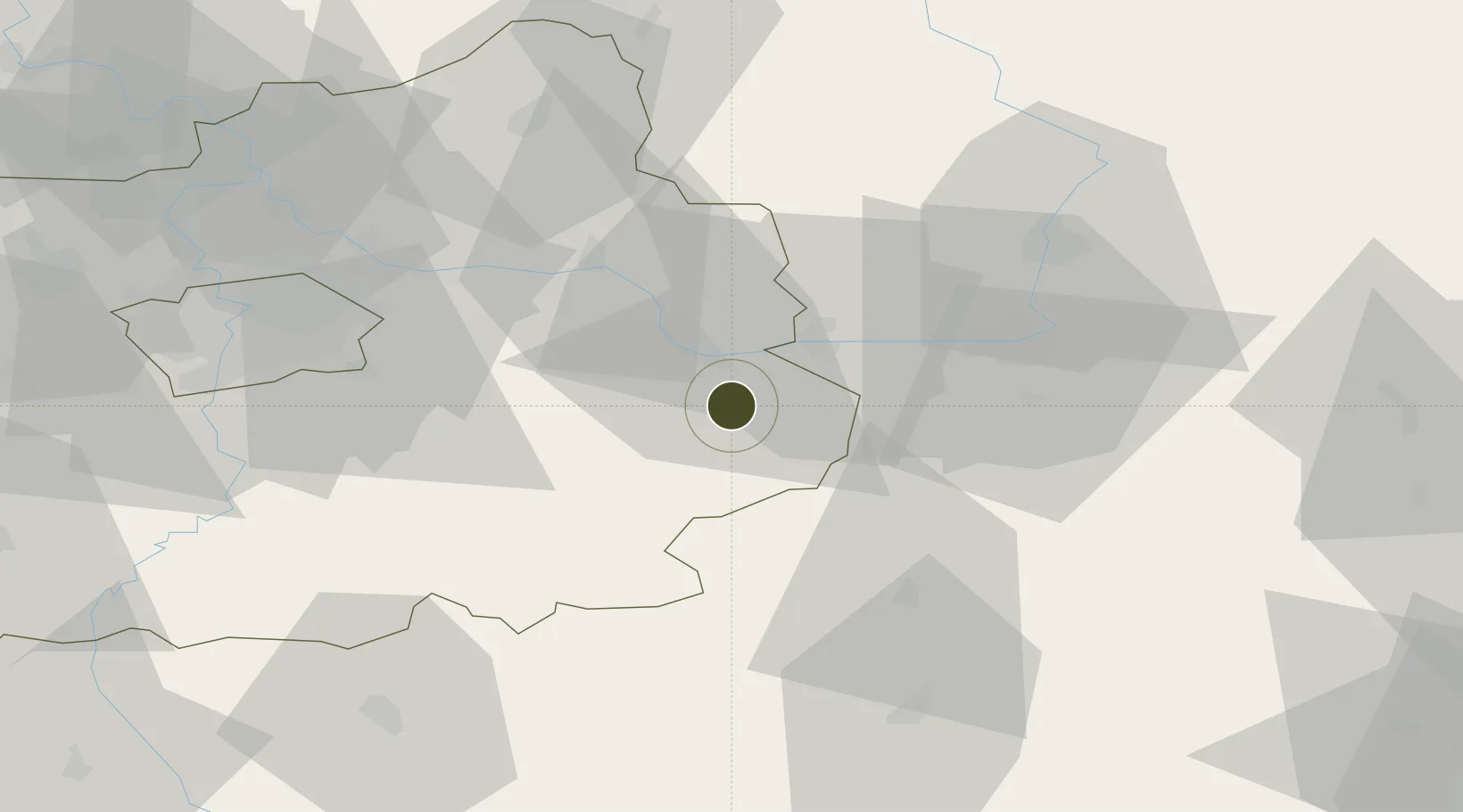
49.9373°, 15.2836°
95 ha
Zone area
390.2 km
Nearest port
7.0 km
Nearest airport

Gateway access

Nearest neighbours — logibook spatial index (haversine) over the source coordinates

Zone profile

Zone type
Free Trade Zone
Open Zone Map
Region
Středočeský
Open Zone Map
Status
Active
Open Zone Map
Management
Private
Open Zone Map
Operator
Czech Development Invest a.s. / Investorsko inženýrská a.s.
Open Zone Map
Legal framework
Act No 72/2000 Coll., on Investment Incentives
Open Zone Map

Location

Location of ozm-1750
Natural Earth 10m (public domain) · Středočeský · ozm-1750 · 49.94, 15.28GoogleOSMYandex

Nearby Logistics Neighbours

Ports
  1. 1Szczecin390 km
  2. 2Police407 km
  3. 3Swinoujscie448 km
  4. 4Monfalcone480 km
  5. 5Trieste490 km
Nearest neighbours — logibook spatial index (haversine) over the source coordinates
Airports
  1. 1Čáslav Air Base7 km
  2. 2Pardubice Airport34 km
  3. 3Kostomlaty Airstrip40 km
  4. 4Prague–Kbely Air Base57 km
  5. 5Vodochody Airport71 km
Nearest neighbours — logibook spatial index (haversine) over the source coordinates
Cities
  1. 1Kutná Hora2 km
  2. 2Korotice8 km
  3. 3Kolín11 km
  4. 4Týnec nad Labem12 km
  5. 5Kralice12 km
Nearest neighbours — logibook spatial index (haversine) over the source coordinates
Trade Zones
  1. 1Kolín - Ovčáry Industrial Zone15 km
  2. 2Světlá nad Sázavou Municipal Industrial Zone31 km
  3. 3Pardubice City Industrial Zone39 km
  4. 4Kamienna Góra108 km
  5. 5Wałbrzych SEZ INVEST-PARK (Wałbrzyska SSE)122 km
Nearest neighbours — logibook spatial index (haversine) over the source coordinates
DatabookThe Record of Consolidated Knowledge
Czechia beyond logistics?
Browse databook

All Sources

Trade ZonesOpen Zone Map
CC BY
Portsthe NGA World Port Index
Public domain (US gov)
AirportsOurAirports
Public domain
LocationsUN/LOCODE
UN/LOCODE — free
← Czechia trade zones