Large airport · Czechia
Václav Havel Airport PragueLKPR
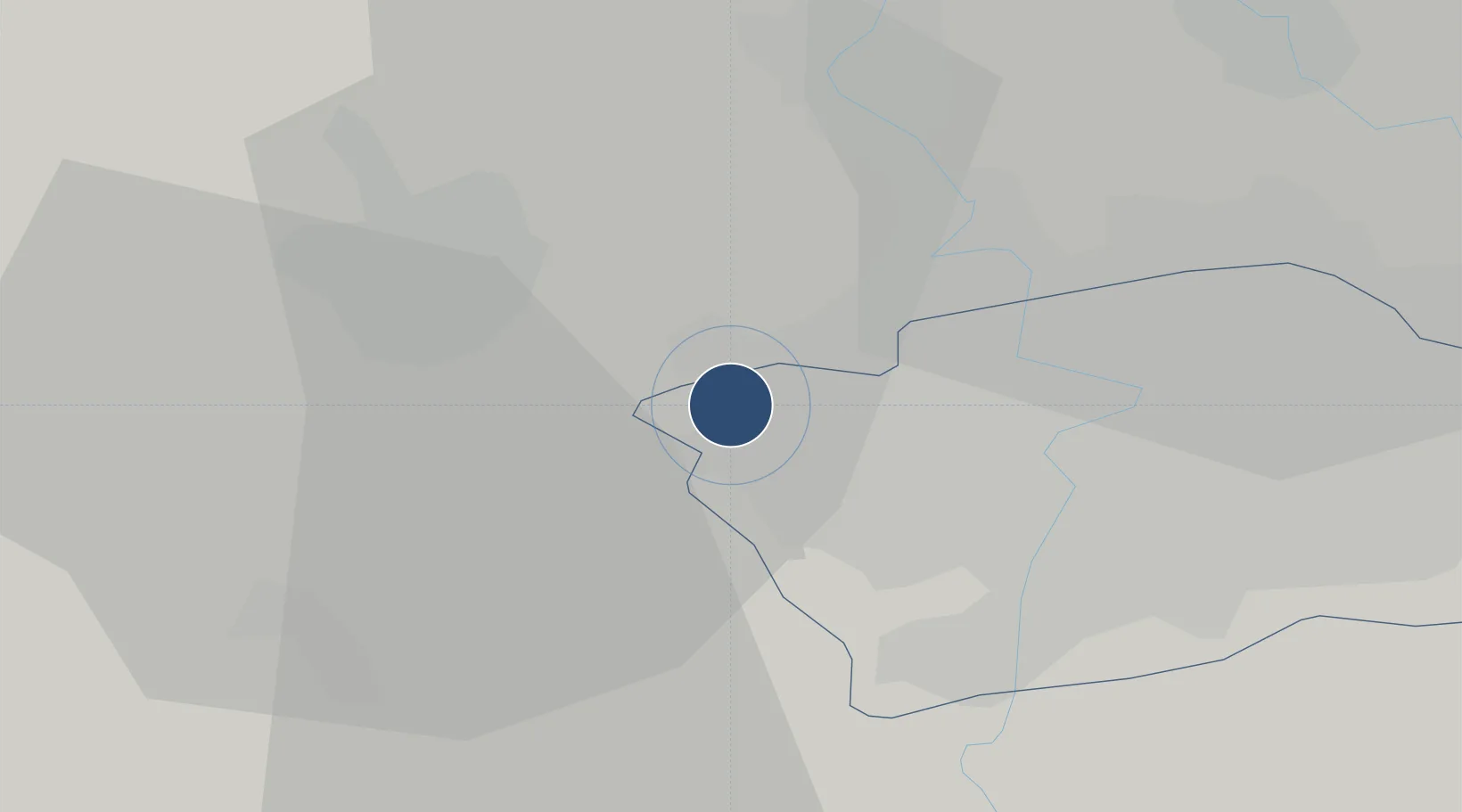
50.1009°, 14.2599°
12,189 ft
Longest runway
2
Runways
1,247 ft
Elevation
Runway & Layout

Radio Frequencies
ATIS
122.16 MHz
TWR
134.56 MHz
Ruzyně Tower
GND
121.91 MHz
Ruzyně Ground
CLD
120.06 MHz
Ruzyně Delivery
APP
120.53 MHz
Praha Approach
APP
127.58 MHz
Praha Approach
INFO
118.31 MHz
Ruzyně Information
RDR
119.01 MHz
Ruzyně Radar
Navaids
NER VOR-DME Neratovice 108.60 MHz
OKL VOR-DME Praha 112.60 MHz
PG NDB Ruzyne Middle 307 kHz
PR NDB Ruzyne North 356 kHz
Runways · 2
| Runway | Dimensions | Surface | True heading | Lit |
|---|---|---|---|---|
| 06/24 | 12,189 × 148ft | Concrete | 065° | ✓ |
| 12/30 | 10,663 × 148ft | Concrete | 127° | ✓ |
Airport Specifications
IATA code
PRG
ICAO code
LKPR
Airport class
Large airport
Scheduled service
Yes
Runway surface
Concrete
Served city
Prague
Location
Nearby Logistics Neighbours
Airports
- 1Vodochody Airport16 km
- 2Prague–Kbely Air Base20 km
- 3Kostomlaty Airstrip49 km
- 4Čáslav Air Base82 km
- 5Plzeň-Líně Airport85 km
Cities
- 1Knezeves2 km
- 2Hostivice2 km
- 3Chyne3 km
- 4Jenec4 km
- 5Tuchomerice4 km
Ports
- 1Szczecin369 km
- 2Police386 km
- 3Swinoujscie424 km
- 4Wolgast440 km
- 5Wismar464 km
Trade Zones
DatabookThe Record of Consolidated Knowledge
Czechia beyond logistics?