Export Processing Zone · Czechia

Kolín - Ovčáry Industrial Zone Active
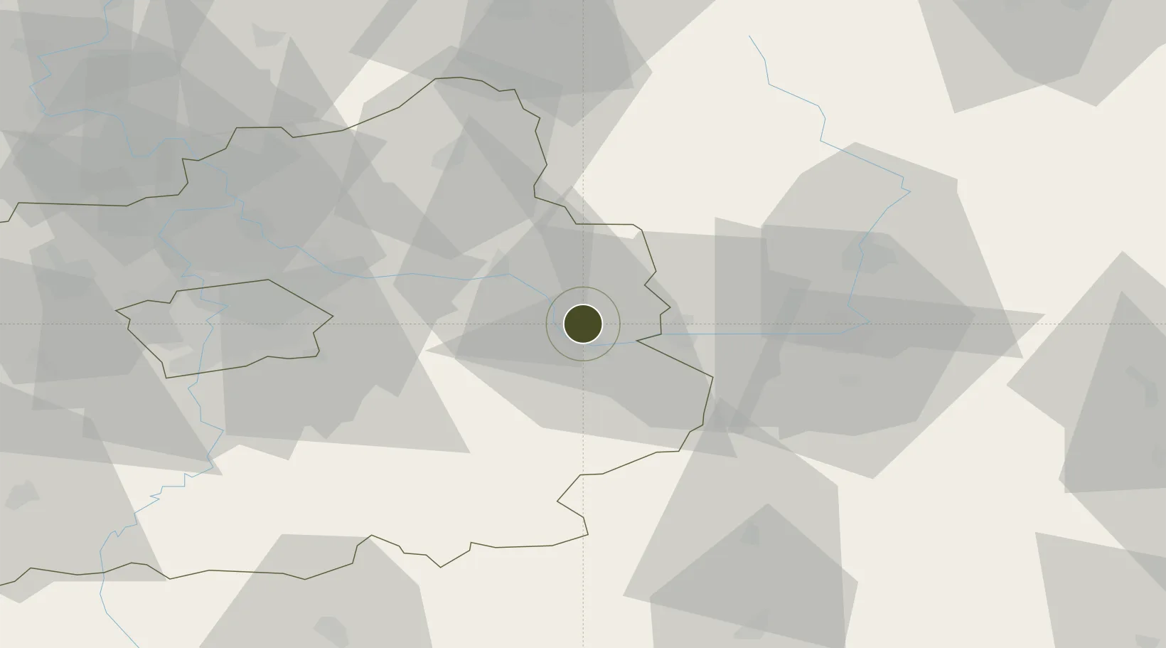
50.0702°, 15.2242°
370 ha
Zone area
375.0 km
Nearest port
18.4 km
Nearest airport

Gateway access

Nearest neighbours — logibook spatial index (haversine) over the source coordinates

Zone profile

Zone type
Export Processing Zone
Open Zone Map
Region
Středočeský
Open Zone Map
Status
Active
Open Zone Map
Management
Public
Open Zone Map
Operator
Department of Regional Development and Local Planning - Kolín Municipal Authority, Municipality of Ovčáry
Open Zone Map
Legal framework
Act No 72/2000 Coll., on Investment Incentives
Open Zone Map

Location

Location of ozm-1748
Natural Earth 10m (public domain) · Středočeský · ozm-1748 · 50.07, 15.22GoogleOSMYandex

Nearby Logistics Neighbours

Ports
  1. 1Szczecin375 km
  2. 2Police391 km
  3. 3Swinoujscie433 km
  4. 4Wolgast453 km
  5. 5Kolobrzeg462 km
Nearest neighbours — logibook spatial index (haversine) over the source coordinates
Airports
  1. 1Čáslav Air Base18 km
  2. 2Kostomlaty Airstrip26 km
  3. 3Pardubice Airport37 km
  4. 4Prague–Kbely Air Base49 km
  5. 5Vodochody Airport61 km
Nearest neighbours — logibook spatial index (haversine) over the source coordinates
Cities
  1. 1Veltruby4 km
  2. 2Velký Osek5 km
  3. 3Kolín6 km
  4. 4Libice nad Cidlinou7 km
  5. 5Týnec nad Labem10 km
Nearest neighbours — logibook spatial index (haversine) over the source coordinates
Trade Zones
  1. 1Industrial Zone Kutna Hora15 km
  2. 2Pardubice City Industrial Zone43 km
  3. 3Světlá nad Sázavou Municipal Industrial Zone47 km
  4. 4Kamienna Góra98 km
  5. 5Wałbrzych SEZ INVEST-PARK (Wałbrzyska SSE)113 km
Nearest neighbours — logibook spatial index (haversine) over the source coordinates
DatabookThe Record of Consolidated Knowledge
Czechia beyond logistics?
Browse databook

All Sources

Trade ZonesOpen Zone Map
CC BY
Portsthe NGA World Port Index
Public domain (US gov)
AirportsOurAirports
Public domain
LocationsUN/LOCODE
UN/LOCODE — free
← Czechia trade zones