Transport Functions
Multimodal
Hub Profile
Place type
Populated place
Region
Ústecký kraj
Population
515
Time zone
Europe/Prague
Elevation
236 m
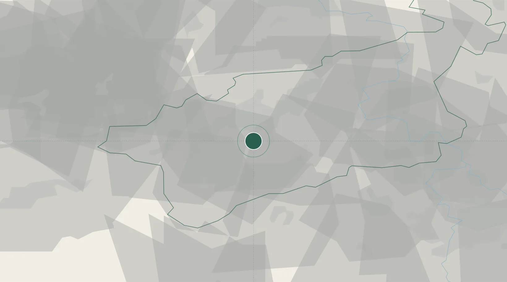
Location
Nearby Logistics Neighbours
Cities
- 1Postoloprty11 km
- 2Dobromerice16 km
- 3Libceves17 km
- 4Krasna Lipa17 km
- 5Bílina18 km
Ports
- 1Szczecin338 km
- 2Police355 km
- 3Swinoujscie390 km
- 4Wolgast402 km
- 5Wismar412 km
Airports
- 1Karlovy Vary Airport55 km
- 2Václav Havel Airport Prague60 km
- 3Vodochody Airport61 km
- 4Prague–Kbely Air Base76 km
- 5Dresden Airport79 km
Trade Zones
DatabookThe Record of Consolidated Knowledge
Czechia beyond logistics?