Medium airport · Czechia

Prague–Kbely Air BaseLKKB
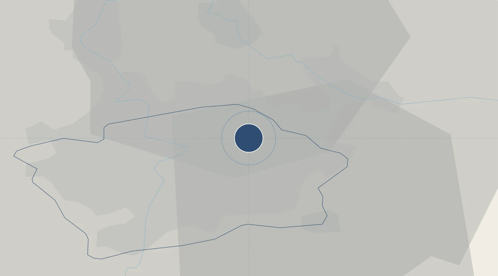
50.1214°, 14.5436°
6,562 ft
Longest runway
1
Runways
939 ft
Elevation

Runway & Layout

Prague–Kbely Air Base runway & taxiway layout
Runway & taxiway layout — OpenStreetMap (ODbL) / OurAirports

Radio Frequencies

TWR
120.88 MHz
APP
124.68 MHz
GCA
123.3 MHz
PRECISION
OurAirports

Navaids

KD NDB Kbely 300 kHz
OurAirports

Runways · 1

RunwayDimensions SurfaceTrue headingLit
06/24 6,562 × 148ft Asphalt 062°
OurAirports

Airport Specifications

ICAO code
LKKB
OurAirports
Airport class
Medium airport
OurAirports
Scheduled service
No
OurAirports
Runway surface
Asphalt
OurAirports
Served city
Prague
OurAirports

Location

Location of LKKB
Natural Earth 10m (public domain) · Prague · LKKB · 50.12, 14.54GoogleOSMYandex

Nearby Logistics Neighbours

Airports
  1. 1Vodochody Airport15 km
  2. 2Václav Havel Airport Prague20 km
  3. 3Kostomlaty Airstrip29 km
  4. 4Čáslav Air Base63 km
  5. 5Pardubice Airport86 km
Nearest neighbours — logibook spatial index (haversine) over the source coordinates
Cities
  1. 1Prezletice5 km
  2. 2Praha6 km
  3. 3Most7 km
  4. 4Bechovice7 km
  5. 5Prague-Vinohrady9 km
Nearest neighbours — logibook spatial index (haversine) over the source coordinates
Ports
  1. 1Szczecin366 km
  2. 2Police383 km
  3. 3Swinoujscie422 km
  4. 4Wolgast440 km
  5. 5Kolobrzeg461 km
Nearest neighbours — logibook spatial index (haversine) over the source coordinates
Trade Zones
  1. 1Kolín - Ovčáry Industrial Zone49 km
  2. 2Industrial Zone Kutna Hora57 km
  3. 3Most - Joseph Industrial Zone76 km
  4. 4Žatec - Triangle Strategic Industrial Zone79 km
  5. 5Světlá nad Sázavou Municipal Industrial Zone80 km
Nearest neighbours — logibook spatial index (haversine) over the source coordinates
DatabookThe Record of Consolidated Knowledge
Czechia beyond logistics?
Browse databook

All Sources

AirportsOurAirports
Public domain
Portsthe NGA World Port Index
Public domain (US gov)
LocationsUN/LOCODE
UN/LOCODE — free
Trade Zonesthe World Bank SEZ database
CC BY 4.0
Trade ZonesOpen Zone Map
CC BY
InfrastructureOpenStreetMap
ODbL 1.0
← Czechia airports