Seaport · Poland
SzczecinPLSZZ
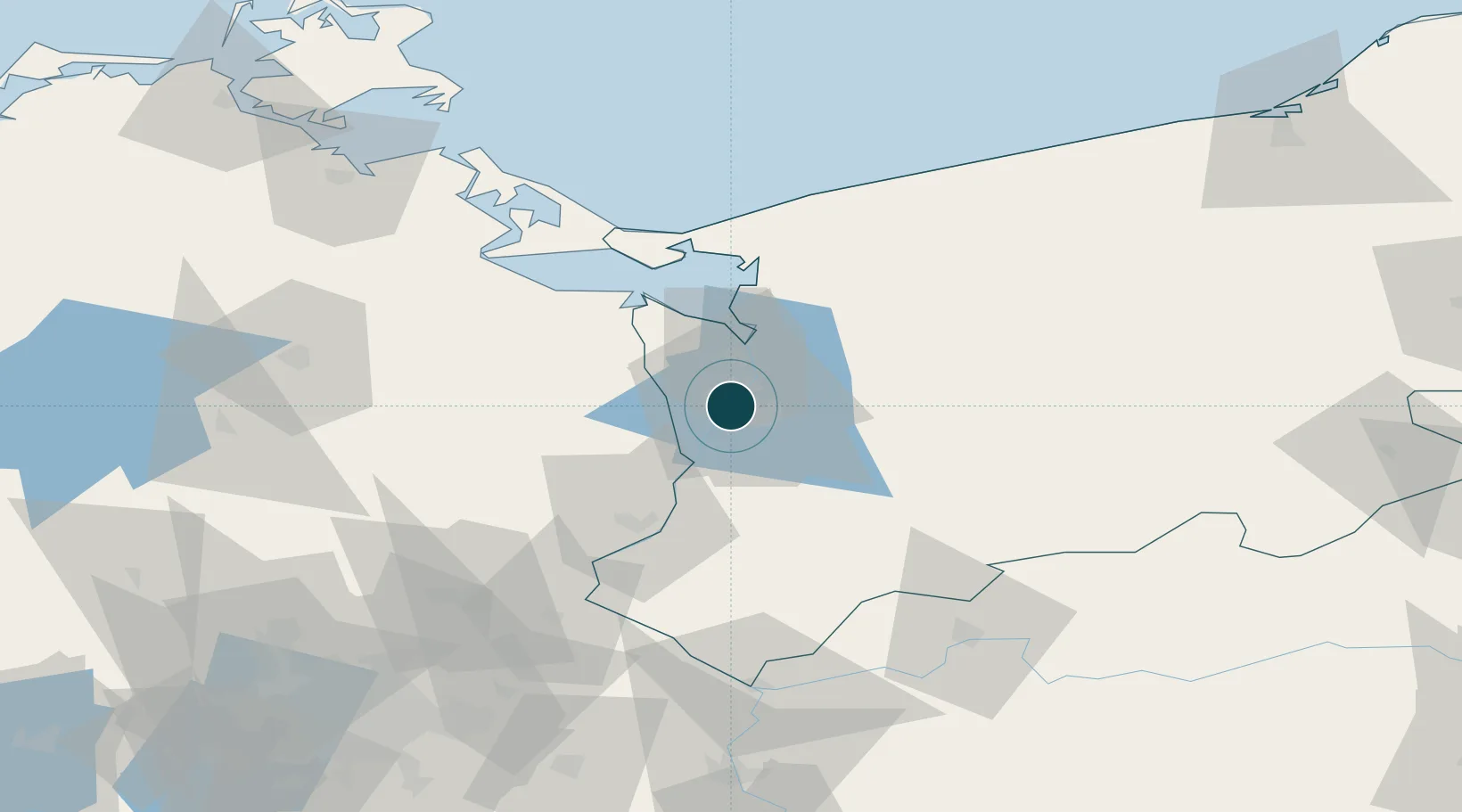
53.4167°, 14.5500°
7.9 m
Channel depth
1
Container terminals
42.2
Port liner connectivity
Channel & Berth Profile
Pilotage, Tugs & Services
Pilotage compulsoryYES
Pilotage availableYES
Tug assistanceYES
Salvage tugsYES
Shore powerYES
Potable waterYES
Diesel bunkersYES
MedicalYES
Garbage disposalYES
Facilities & Capabilities
ContainerYES
Ro-RoYES
Liquid bulkYES
Dry bulkYES
Oil terminalNO
Break bulkYES
Dry dockNO
RepairsNO
BunkeringYES
Rail linkYES
Dangerous cargo—
ISPS security—
Harbour Specifications
Harbour size
Medium
Harbour type
River (Natural)
Shelter
Good
Water body
Baltic Sea; North Atlantic Ocean
Overhead limit
Yes
Pilotage
Yes
Liner Connectivity
42.2
PLSCI
Port Liner Shipping Connectivity Index for Szczecin, as published by UNCTAD for the latest available quarter. Higher values indicate stronger scheduled liner-shipping integration.
Shown relative to the highest per-port PLSCI in the dataset (1,657.9).
Location
Container Terminals · 1
SZCZECIN CONTAINER TERMINAL
DPSZ DB PORT SZCZECIN
Nearby Logistics Neighbours
Ports
- 1Police17 km
- 2Swinoujscie59 km
- 3Wolgast87 km
- 4Kolobrzeg111 km
- 5Sassnitz136 km
Cities
- 1Skolwin8 km
- 2Grambow14 km
- 3Kliniska Wielkie15 km
- 4Bismark16 km
- 5Gardno19 km
Airports
Trade Zones
- 1Szczecin Duty Free Zone2 km
- 2Swinoujscie Duty Free Zone56 km
- 3Kostrzyń-Słubice SEZ92 km
- 4Słupsk SEZ (Słupska SSE)200 km
- 5Legnica SEZ (Legnicka SSE)256 km
DatabookThe Record of Consolidated Knowledge
Poland beyond logistics?