Transport Functions
Port
Hub Profile
Place type
Provincial seat
Region
Villa Clara Province
Population
39,140
Time zone
America/Havana
Elevation
3 m
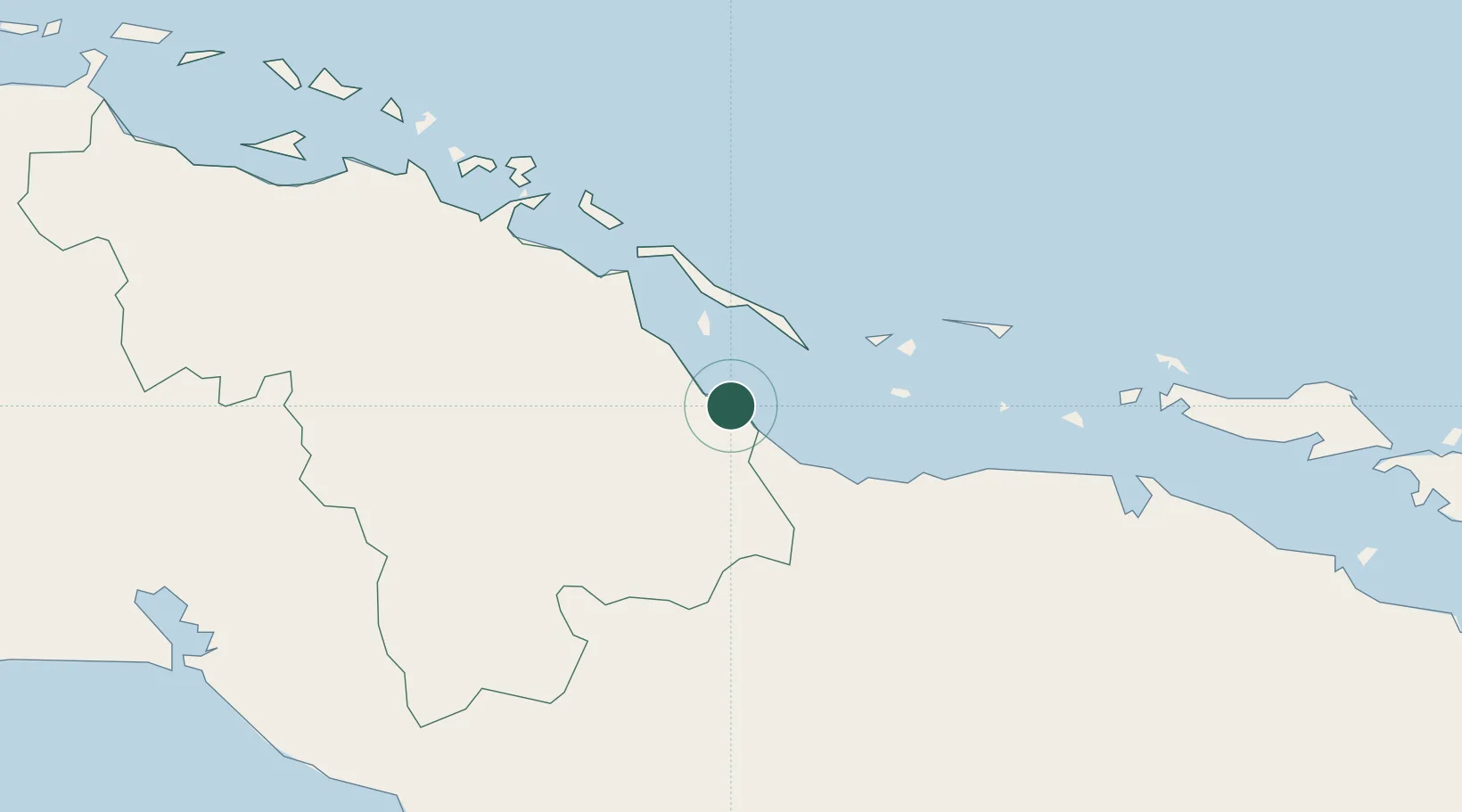
Location
Nearby Logistics Neighbours
Cities
- 1Boqueron61 km
- 2Sagua la Grande69 km
- 3Tunas de Zaza99 km
- 4Morón99 km
- 5Casilda100 km
Ports
- 1Isabela De Sagua73 km
- 2Tunas De Zaza99 km
- 3Casilda101 km
- 4Cienfuegos109 km
- 5Palo Alto116 km
Airports
- 1Abel Santamaria International Airport49 km
- 2Máximo Gómez Airport88 km
- 3Alberto Delgado Airport98 km
- 4Jaime Gonzalez Airport106 km
- 5Jardines Del Rey Airport117 km
Trade Zones
- 1Mariel Special Development Zone345 km
- 2FTZ No. 281 Miami-Dade County362 km
- 3FTZ No. 180 Miami (Wynwood)373 km
- 4FTZ No. 032 Miami374 km
- 5FTZ No. 025 Broward County402 km
DatabookThe Record of Consolidated Knowledge
Cuba beyond logistics?