Medium airport · Cuba
Vilo Acuña International AirportMUCL
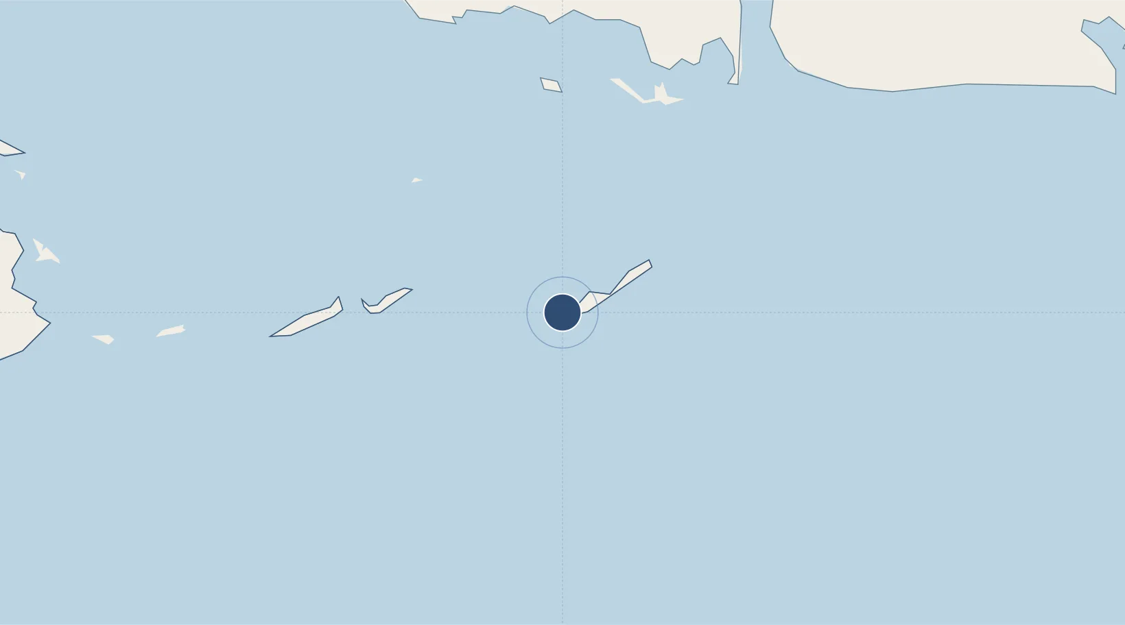
21.6165°, -81.5460°
9,869 ft
Longest runway
1
Runways
10 ft
Elevation
Runway & Layout

Radio Frequencies
TWR
118.5 MHz
CAYO LARGO TWR
APP
120.1 MHz
CAYO LARGO APP
A/G
340.7 MHz
CAYO LARGO RDO
Navaids
UCL VOR-DME Cayo Largo Del Sur 112.10 MHz
UCL NDB Cayo Largo Del Sur 230 kHz
Runways · 1
| Runway | Dimensions | Surface | True heading | Lit |
|---|---|---|---|---|
| 12/30 | 9,869 × 148ft | Asphalt | 116° | ✓ |
Airport Specifications
IATA code
CYO
ICAO code
MUCL
Airport class
Medium airport
Scheduled service
Yes
Runway surface
Asphalt
Served city
Cayo Largo del Sur
Location
Nearby Logistics Neighbours
Airports
- 1Rafael Cabrera Airport130 km
- 2Jaime Gonzalez Airport131 km
- 3San Nicolás de Bari Airport133 km
- 4Siguanea Airport146 km
- 5Juan Gualberto Gomez International Airport158 km
Cities
- 1Casilda161 km
- 2Cárdenas162 km
- 3La Habana186 km
- 4Mariel198 km
- 5Sagua la Grande201 km
Ports
- 1Cienfuegos128 km
- 2Nueva Gerona134 km
- 3Matanzas159 km
- 4Casilda162 km
- 5Cardenas163 km
Trade Zones
- 1Mariel Special Development Zone200 km
- 2Cayman Enterprise City257 km
- 3FTZ No. 281 Miami-Dade County446 km
- 4FTZ No. 032 Miami481 km
- 5FTZ No. 180 Miami (Wynwood)485 km
DatabookThe Record of Consolidated Knowledge
Cuba beyond logistics?