Transport Functions
Port
Rail
Road
Airport
Hub Profile
Place type
Provincial seat
Region
Villa Clara Province
Population
62,073
Time zone
America/Havana
Elevation
13 m
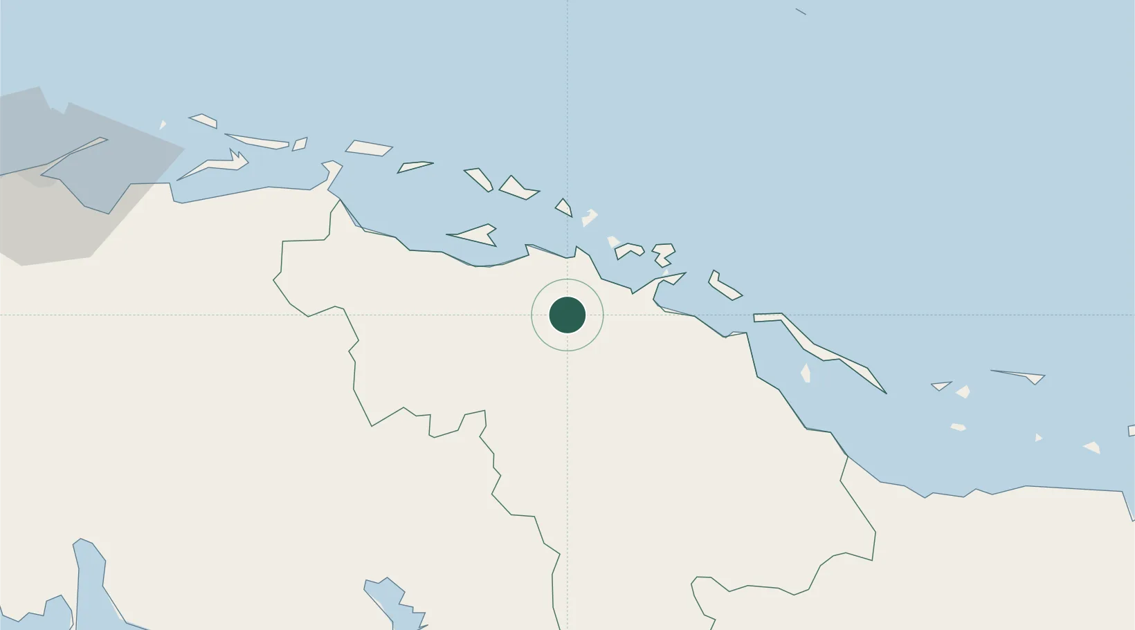
Location
Nearby Logistics Neighbours
Cities
- 1Caibarién69 km
- 2Casilda115 km
- 3Cárdenas119 km
- 4Boqueron129 km
- 5Tunas de Zaza140 km
Ports
- 1Isabela De Sagua18 km
- 2Caibarien68 km
- 3Cienfuegos82 km
- 4Casilda117 km
- 5Cardenas119 km
Airports
Trade Zones
- 1Mariel Special Development Zone280 km
- 2FTZ No. 281 Miami-Dade County314 km
- 3FTZ No. 032 Miami334 km
- 4FTZ No. 180 Miami (Wynwood)334 km
- 5FTZ No. 025 Broward County365 km
DatabookThe Record of Consolidated Knowledge
Cuba beyond logistics?