Transport Functions
Port
Airport
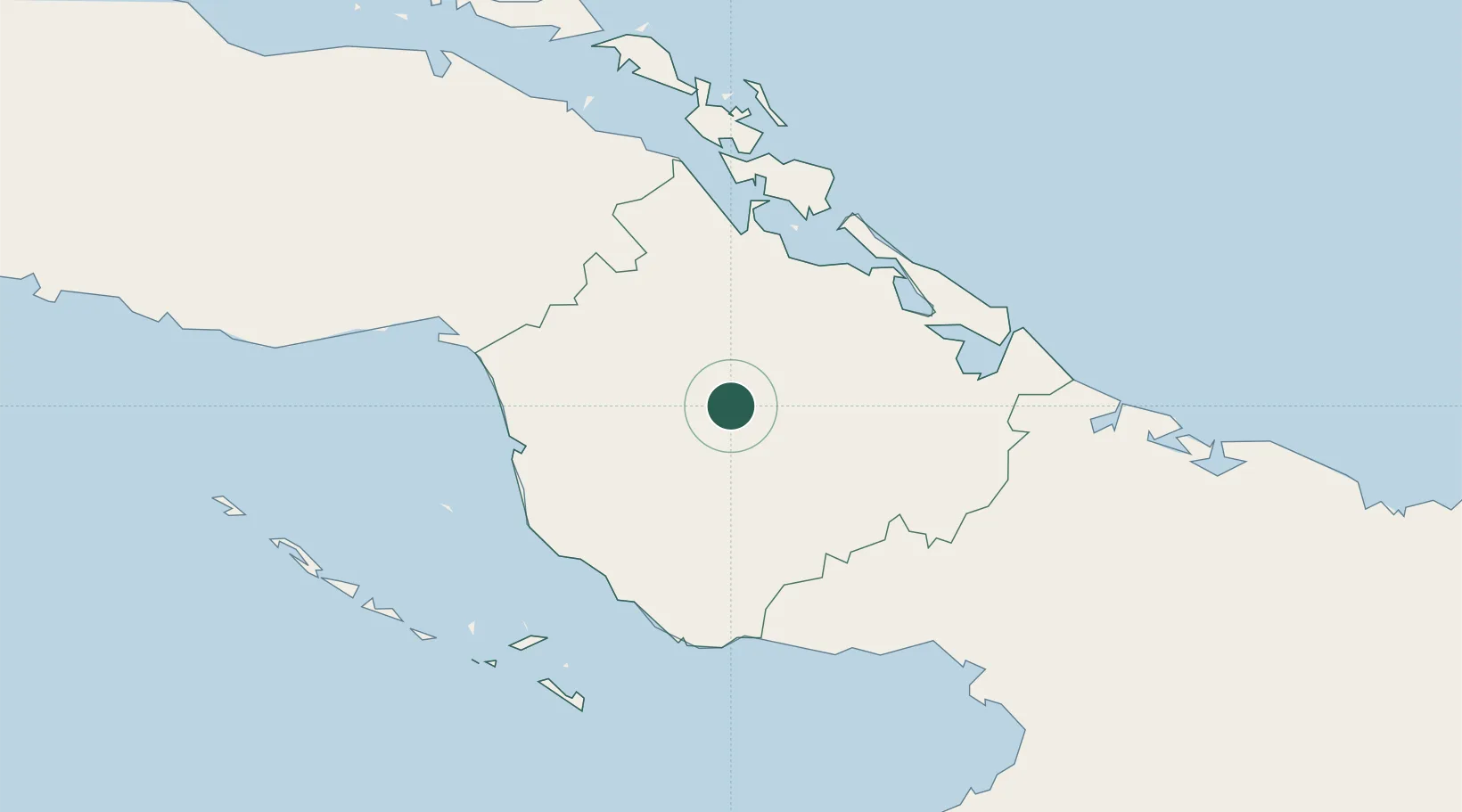
Location
Nearby Logistics Neighbours
Cities
- 1Nuevitas70 km
- 2Puerto Tarafa72 km
- 3Bufadero74 km
- 4Puerto de Pastelillo75 km
- 5Boca Grande81 km
Ports
- 1Nuevitas Bay70 km
- 2Santa Cruz del Sur76 km
- 3Guayabal82 km
- 4Jucaro100 km
- 5Palo Alto111 km
Airports
Trade Zones
- 1Cazoumar Free Zone325 km
- 2Montego Bay Free Zone325 km
- 3Jamaica-Gansu Industrial Park381 km
- 4Spanish Town Free Zone389 km
- 5Caymanas Special Economic Zone392 km
DatabookThe Record of Consolidated Knowledge
Cuba beyond logistics?