UN/LOCODE hub · Costa Rica
CRLIO

Puerto Limón

9.9903°, -83.0980°
2
Transport functions
1
Container terminals

Transport Functions

Port
Road
Puerto Limón is also a profiled seaport →
UN/LOCODE

Hub Profile

Region
L
GeoNames
Logistics facilities
17
UN/LOCODE
Container terminals
1
UN/LOCODE

Location

Location of CRLIO
Natural Earth 10m (public domain) · L · CRLIO · 9.99, -83.10GoogleOSMYandex

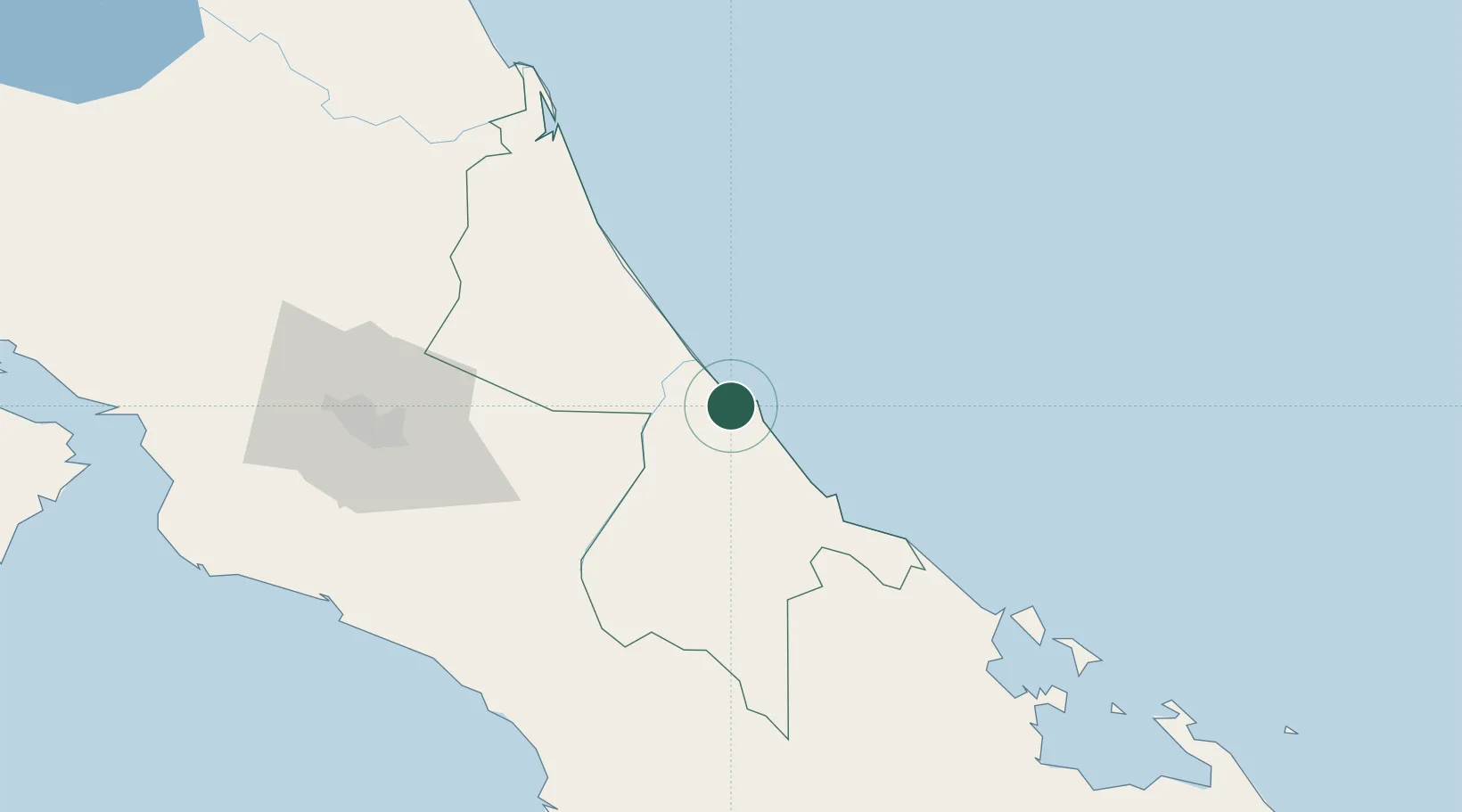
Nearby Logistics Neighbours

Cities
  1. 1Moín1 km
  2. 2Limon6 km
  3. 3Búffalo8 km
  4. 4Aguas Zarcas11 km
  5. 5Playa Hermosa28 km
Nearest neighbours — logibook spatial index (haversine) over the source coordinates
Ports
  1. 1Puerto Moin2 km
  2. 2Almirante108 km
  3. 3Bocas Del Toro120 km
  4. 4Puerto Quepos133 km
  5. 5Golfito151 km
Nearest neighbours — logibook spatial index (haversine) over the source coordinates
Airports
  1. 1Limón International Airport9 km
  2. 2Aerotortuguero Airport74 km
  3. 3Guapiles Airport81 km
  4. 4Changuinola Captain Manuel Niño International Airport87 km
  5. 5Buenos Aires Airport95 km
Nearest neighbours — logibook spatial index (haversine) over the source coordinates
Trade Zones
  1. 1Caribe Industrial Park & Free Zone1 km
  2. 2FreeHold Free Zone43 km
  3. 3Lima Free Zone and Business Park95 km
  4. 4Zeta Free Zone Catargo95 km
  5. 5El Roble Industrial Logistics Zone (RILZ)106 km
Nearest neighbours — logibook spatial index (haversine) over the source coordinates
DatabookThe Record of Consolidated Knowledge
Costa Rica beyond logistics?
Browse databook

All Sources

LocationsUN/LOCODE
UN/LOCODE — free
Portsthe NGA World Port Index
Public domain (US gov)
AirportsOurAirports
Public domain
Trade Zonesthe World Bank SEZ database
CC BY 4.0
Trade ZonesOpen Zone Map
CC BY
← Costa Rica locations