Transport Functions
Road
Multimodal
Hub Profile
Place type
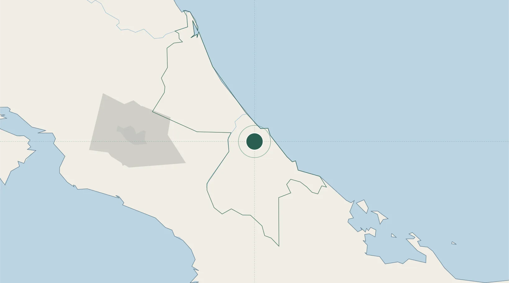
Populated place
Region
Limón Province
Time zone
America/Costa_Rica
Elevation
95 m
Location
Nearby Logistics Neighbours
Cities
- 1Puerto Limón11 km
- 2Limon11 km
- 3Moín12 km
- 4Búffalo14 km
- 5Playa Hermosa24 km
Ports
- 1Puerto Moin12 km
- 2Puerto Limon16 km
- 3Almirante105 km
- 4Bocas Del Toro117 km
- 5Puerto Quepos125 km
Airports
Trade Zones
DatabookThe Record of Consolidated Knowledge
Costa Rica beyond logistics?