Medium airport · Colombia

Guillermo León Valencia AirportSKPP
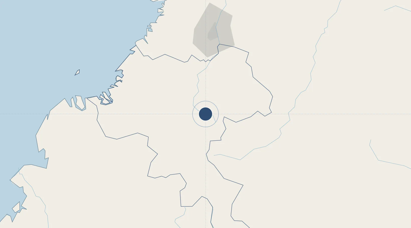
2.4544°, -76.6093°
6,266 ft
Longest runway
1
Runways
5,687 ft
Elevation

Runway & Layout

Guillermo León Valencia Airport runway & taxiway layout
Runway & taxiway layout — OpenStreetMap (ODbL) / OurAirports

Radio Frequencies

TWR
118.45 MHz
APP
119.1 MHz
CALI APP
RDO
348.8 MHz
POPAYAN RDO
OurAirports

Runways · 1

RunwayDimensions SurfaceTrue headingLit
07/25 6,266 × 98ft Asphalt 071°
OurAirports

Airport Specifications

IATA code
PPN
OurAirports
ICAO code
SKPP
OurAirports
Airport class
Medium airport
OurAirports
Scheduled service
Yes
OurAirports
Runway surface
Asphalt
OurAirports
Served city
Popayán
OurAirports

Location

Location of SKPP
Natural Earth 10m (public domain) · Cauca · SKPP · 2.45, -76.61GoogleOSMYandex

Nearby Logistics Neighbours

Airports
  1. 1Pitalito Airport88 km
  2. 2La Jagua Airport107 km
  3. 3Alfonso Bonilla Aragon International Airport124 km
  4. 4Antonio Nariño Airport140 km
  5. 5Guapi Airport144 km
Nearest neighbours — logibook spatial index (haversine) over the source coordinates
Cities
  1. 1Cauca22 km
  2. 2Caloto68 km
  3. 3Guachene80 km
  4. 4Villa Rica81 km
  5. 5Balboa82 km
Nearest neighbours — logibook spatial index (haversine) over the source coordinates
Ports
  1. 1Buenaventura167 km
  2. 2Tumaco248 km
  3. 3Esmeraldas375 km
  4. 4Manta593 km
  5. 5Turbo626 km
Nearest neighbours — logibook spatial index (haversine) over the source coordinates
Trade Zones
  1. 1Zona Franca Parque Sur81 km
  2. 2Permanente Del Cauca Permanent Free Trade Zone86 km
  3. 3Zona Franca Zonamerica98 km
  4. 4Pacific Free Trade Zone125 km
  5. 5Palmaseca Free Trade Zone125 km
Nearest neighbours — logibook spatial index (haversine) over the source coordinates
DatabookThe Record of Consolidated Knowledge
Colombia beyond logistics?
Browse databook

All Sources

AirportsOurAirports
Public domain
Portsthe NGA World Port Index
Public domain (US gov)
LocationsUN/LOCODE
UN/LOCODE — free
Trade Zonesthe World Bank SEZ database
CC BY 4.0
Trade ZonesOpen Zone Map
CC BY
InfrastructureOpenStreetMap
ODbL 1.0
← Colombia airports