Medium airport · Colombia

Gerardo Tobar López AirportSKBU
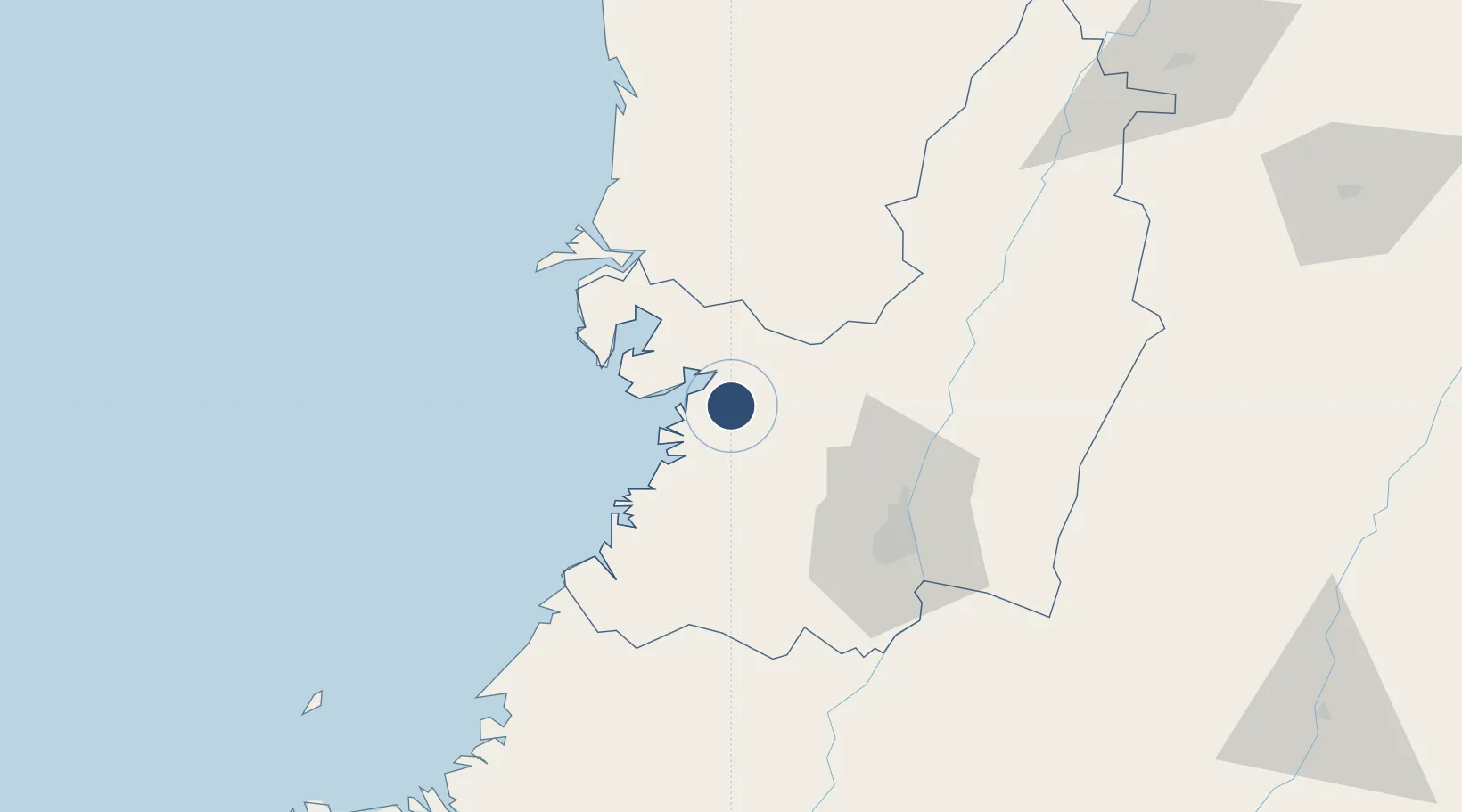
3.8196°, -76.9898°
3,945 ft
Longest runway
1
Runways
48 ft
Elevation

Runway & Layout

Gerardo Tobar López Airport runway & taxiway layout
Runway & taxiway layout — OpenStreetMap (ODbL) / OurAirports

Radio Frequencies

TWR
118.7 MHz
APP
119.1 MHz
CALI APP
A/G
348.8 MHz
BUENAVENTURA RDO
FSS
126.7 MHz
BUENAVENTURA RDO
OurAirports

Navaids

BUN VOR-DME Buenaventura 112.90 MHz
OurAirports

Runways · 1

RunwayDimensions SurfaceTrue headingLit
09/27 3,945 × 76ft Asphalt 086°
OurAirports

Airport Specifications

IATA code
BUN
OurAirports
ICAO code
SKBU
OurAirports
Airport class
Medium airport
OurAirports
Scheduled service
Yes
OurAirports
Runway surface
Asphalt
OurAirports
Served city
Buenaventura
OurAirports

Location

Location of SKBU
Natural Earth 10m (public domain) · Valle del Cauca · SKBU · 3.82, -76.99GoogleOSMYandex

Nearby Logistics Neighbours

Airports
  1. 1Alfonso Bonilla Aragon International Airport74 km
  2. 2Heriberto Gíl Martínez Airport89 km
  3. 3El Eden Airport153 km
  4. 4Santa Ana Airport155 km
  5. 5Guillermo León Valencia Airport158 km
Nearest neighbours — logibook spatial index (haversine) over the source coordinates
Cities
  1. 1Buenaventura10 km
  2. 2Yumbo63 km
  3. 3Candelaria87 km
  4. 4Guachene102 km
  5. 5Caloto109 km
Nearest neighbours — logibook spatial index (haversine) over the source coordinates
Ports
  1. 1Buenaventura11 km
  2. 2Tumaco296 km
  3. 3Esmeraldas431 km
  4. 4Turbo475 km
  5. 5Vacamonte634 km
Nearest neighbours — logibook spatial index (haversine) over the source coordinates
Trade Zones
  1. 1Celpa Permanent Free Trade Zone8 km
  2. 2Pacific Free Trade Zone66 km
  3. 3Palmaseca Free Trade Zone73 km
  4. 4Zona Franca Zonamerica75 km
  5. 5Permanente Del Cauca Permanent Free Trade Zone93 km
Nearest neighbours — logibook spatial index (haversine) over the source coordinates
DatabookThe Record of Consolidated Knowledge
Colombia beyond logistics?
Browse databook

All Sources

AirportsOurAirports
Public domain
Portsthe NGA World Port Index
Public domain (US gov)
LocationsUN/LOCODE
UN/LOCODE — free
Trade Zonesthe World Bank SEZ database
CC BY 4.0
Trade ZonesOpen Zone Map
CC BY
InfrastructureOpenStreetMap
ODbL 1.0
← Colombia airports