Transport Functions
Road
Multimodal
Hub Profile
Place type
Populated place
Region
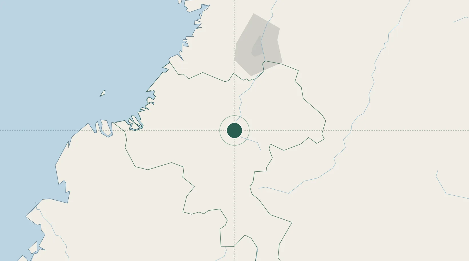
Cauca Department
Time zone
America/Bogota
Elevation
1,620 m
Location
Nearby Logistics Neighbours
Cities
- 1Caloto66 km
- 2Guachene76 km
- 3Balboa78 km
- 4Villa Rica81 km
- 5Candelaria104 km
Ports
- 1Buenaventura150 km
- 2Tumaco236 km
- 3Esmeraldas365 km
- 4Manta588 km
- 5Turbo613 km
Airports
- 1Guillermo León Valencia Airport22 km
- 2Pitalito Airport109 km
- 3Alfonso Bonilla Aragon International Airport117 km
- 4Guapi Airport126 km
- 5La Jagua Airport128 km
Trade Zones
DatabookThe Record of Consolidated Knowledge
Colombia beyond logistics?