UN/LOCODE hub · China
CNWUZ

Wuzhou

23.0890°, 111.6663°
761,948
Population
3
Transport functions

Transport Functions

Port
Rail
Road
UN/LOCODE

Hub Profile

Place type
Provincial seat
GeoNames
Region
Guangxi
GeoNames
Population
761,948
GeoNames
Time zone
Asia/Shanghai
GeoNames
Elevation
51 m
GeoNames
Logistics facilities
13
UN/LOCODE

Location

Location of CNWUZ
Natural Earth 10m (public domain) · Guangxi · CNWUZ · 23.09, 111.67GoogleOSMYandex

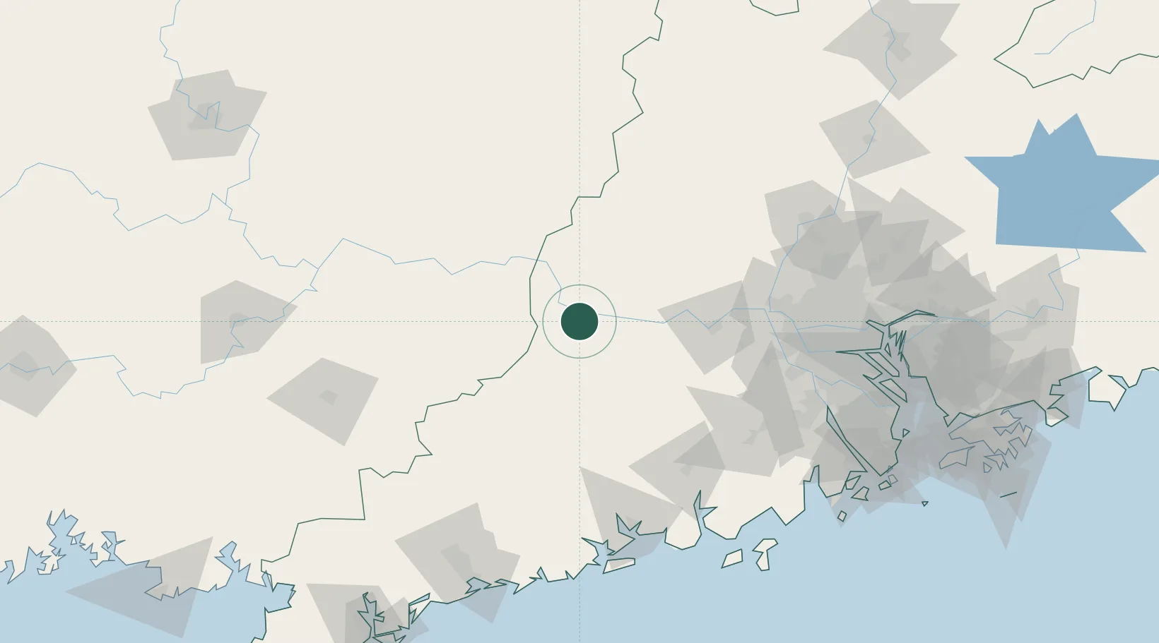
Nearby Logistics Neighbours

Cities
  1. 1Nanjiangkou14 km
  2. 2Liudu34 km
  3. 3Jiangkou44 km
  4. 4Guigang51 km
  5. 5Cangwu57 km
Nearest neighbours — logibook spatial index (haversine) over the source coordinates
Ports
  1. 1Guangzhou160 km
  2. 2Huangpu179 km
  3. 3Huangpuxingang188 km
  4. 4Shui Dong188 km
  5. 5Zhuhai219 km
Nearest neighbours — logibook spatial index (haversine) over the source coordinates
Airports
  1. 1Wuzhou Xijiang Airport68 km
  2. 2Foshan Shadi Airport144 km
  3. 3Guangzhou Baiyun International Airport170 km
  4. 4Guiping Mengxu Air Base172 km
  5. 5Yulin Fumian Airport175 km
Nearest neighbours — logibook spatial index (haversine) over the source coordinates
DatabookThe Record of Consolidated Knowledge
China beyond logistics?
Browse databook

All Sources

LocationsUN/LOCODE
UN/LOCODE — free
LocationsGeoNames
CC BY 4.0
Portsthe NGA World Port Index
Public domain (US gov)
AirportsOurAirports
Public domain
Trade Zonesthe World Bank SEZ database
CC BY 4.0
Trade ZonesOpen Zone Map
CC BY
← China locations