Diversified Zone · China
Yunan County Industrial Transfer Industrial Park Active
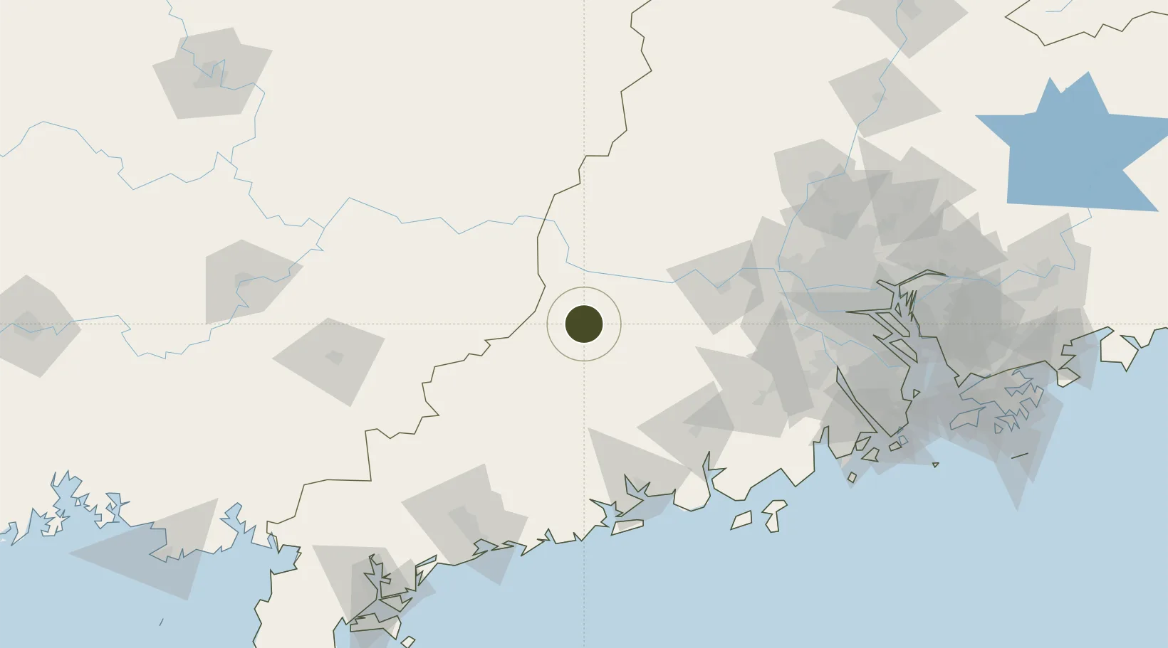
22.8322°, 111.6452°
2,800 ha
Zone area
160.8 km
Nearest port
84.9 km
Nearest airport
Gateway access
Zone profile
Zone type
Diversified Zone
Region
Guangdong
Status
Active
Management
Public
Operator
Management Committee of Yunan County Industrial Transfer Industrial Park
Legal framework
In April 2018, it was included in the Review and Announcement Catalogue of China Development Zones (2018 edition). In June, it was officially recognized as a provincial industrial transfer industrial park by the provincial government.
Location
Nearby Logistics Neighbours
Ports
- 1Shui Dong161 km
- 2Guangzhou166 km
- 3Huangpu184 km
- 4Huangpuxingang192 km
- 5Zhuhai210 km
Airports
- 1Wuzhou Xijiang Airport85 km
- 2Foshan Shadi Airport149 km
- 3Yulin Fumian Airport163 km
- 4Guiping Mengxu Air Base176 km
- 5Guangzhou Baiyun International Airport180 km
Cities
- 1Wuzhou29 km
- 2Guigang30 km
- 3Nanjiangkou35 km
- 4Liudu45 km
- 5Jiangkou70 km
DatabookThe Record of Consolidated Knowledge
China beyond logistics?