Medium airport · China

Foshan Shadi AirportZGFS
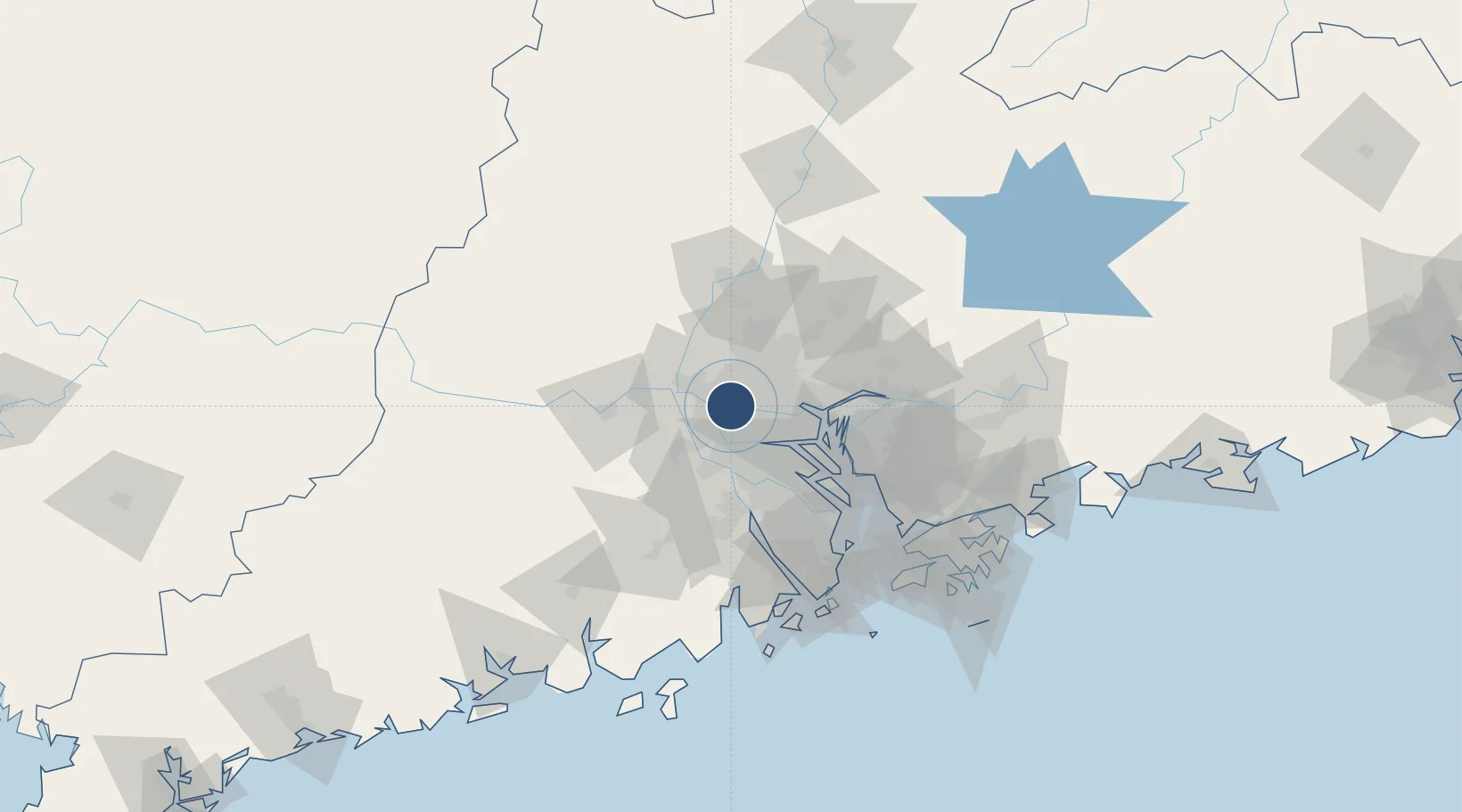
23.0825°, 113.0708°
9,186 ft
Longest runway
1
Runways
6 ft
Elevation

Runway & Layout

Foshan Shadi Airport runway & taxiway layout
Runway & taxiway layout — OpenStreetMap (ODbL) / OurAirports

Runways · 1

RunwayDimensions SurfaceTrue headingLit
01/19 9,186 × 180ft
OurAirports

Airport Specifications

IATA code
FUO
OurAirports
ICAO code
ZGFS
OurAirports
Airport class
Medium airport
OurAirports
Scheduled service
Yes
OurAirports
Served city
Foshan (Nanhai)
OurAirports

Location

Location of ZGFS
Natural Earth 10m (public domain) · Guangdong · ZGFS · 23.08, 113.07GoogleOSMYandex

Nearby Logistics Neighbours

Airports
  1. 1Guangzhou Baiyun International Airport42 km
  2. 2Shenzhen Bao'an International Airport90 km
  3. 3Macau International Airport117 km
  4. 4Hong Kong International Airport122 km
  5. 5Zhuhai Jinwan Airport124 km
Nearest neighbours — logibook spatial index (haversine) over the source coordinates
Cities
  1. 1Xingang6 km
  2. 2Xiaotang9 km
  3. 3Shiwan9 km
  4. 4Yanbu10 km
  5. 5Sanshui11 km
Nearest neighbours — logibook spatial index (haversine) over the source coordinates
Ports
  1. 1Guangzhou17 km
  2. 2Huangpu35 km
  3. 3Huangpuxingang44 km
  4. 4Shekou107 km
  5. 5Zhuhai108 km
Nearest neighbours — logibook spatial index (haversine) over the source coordinates
Trade Zones
  1. 1Fushan Industrial Park8 km
  2. 2Nanhai High-tech Industrial Development Zone8 km
  3. 3Foshan Chancheng Economic Development Zone9 km
  4. 4Nanhai Economic Development Zone12 km
  5. 5Sanshui Industrial Park22 km
Nearest neighbours — logibook spatial index (haversine) over the source coordinates
DatabookThe Record of Consolidated Knowledge
China beyond logistics?
Browse databook

All Sources

AirportsOurAirports
Public domain
Portsthe NGA World Port Index
Public domain (US gov)
LocationsUN/LOCODE
UN/LOCODE — free
Trade Zonesthe World Bank SEZ database
CC BY 4.0
Trade ZonesOpen Zone Map
CC BY
InfrastructureOpenStreetMap
ODbL 1.0
← China airports