Channel & Berth Profile
Pilotage, Tugs & Services
Pilotage compulsoryYES
Pilotage availableYES
Tug assistanceYES
Potable waterYES
Garbage disposalNO
Facilities & Capabilities
Container—
Ro-Ro—
Liquid bulk—
Dry bulk—
Oil terminal—
Break bulk—
Dry dock—
RepairsNO
BunkeringYES
Rail link—
Dangerous cargo—
ISPS security—
Harbour Specifications
Harbour size
Very Small
Harbour type
Coastal (Breakwater)
Shelter
Fair
Water body
South China Sea; North Pacific Ocean
Tidal range
2 m
Overhead limit
No
Pilotage
Yes
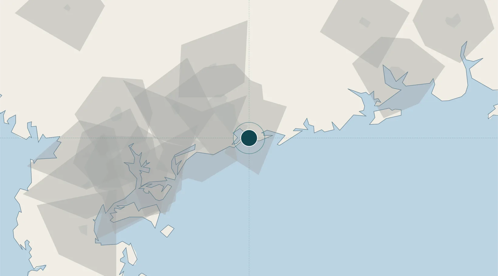
Location
Nearby Logistics Neighbours
Airports
- 1Zhanjiang Wuchuan International Airport51 km
- 2Suixi Air Base92 km
- 3Yulin Fumian Airport145 km
- 4Haikou Meilan International Airport184 km
- 5Beihai Fucheng Airport185 km
DatabookThe Record of Consolidated Knowledge
China beyond logistics?