Medium airport · China

Wuzhou Xijiang AirportZGWZ
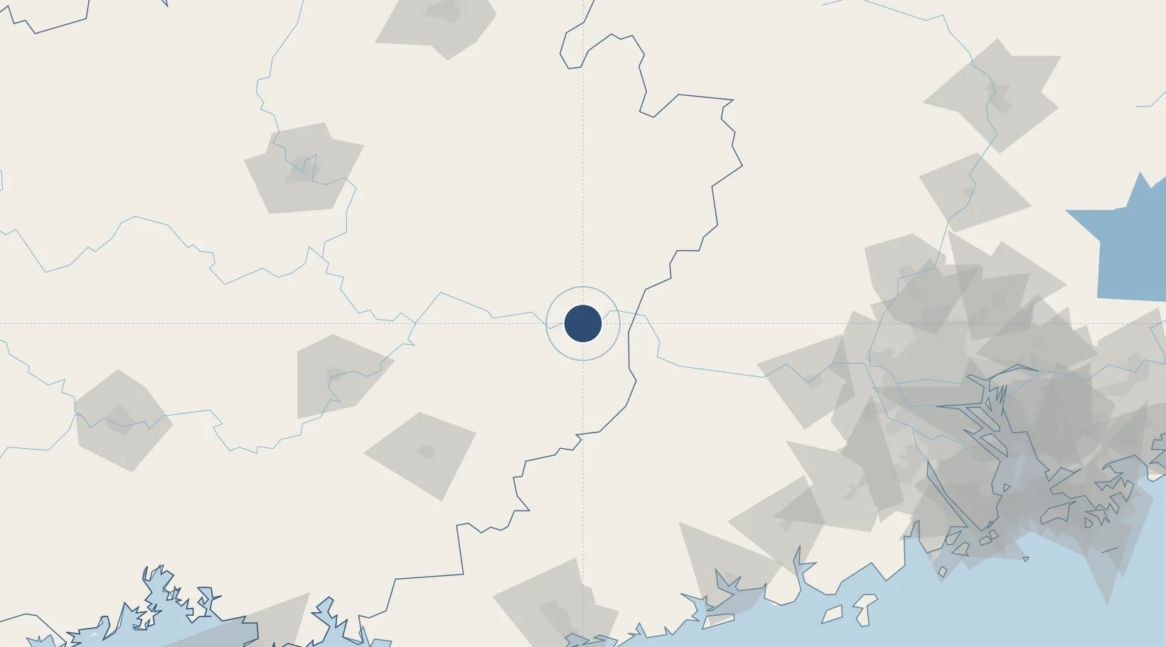
23.4032°, 111.0933°
8,202 ft
Longest runway
1
Runways
357 ft
Elevation

Runway & Layout

Wuzhou Xijiang Airport runway & taxiway layout
Runway & taxiway layout — OpenStreetMap (ODbL) / OurAirports

Runways · 1

RunwayDimensions SurfaceTrue headingLit
04/22 8,202 × 118ft Asphalt
OurAirports

Airport Specifications

IATA code
WUZ
OurAirports
ICAO code
ZGWZ
OurAirports
Airport class
Medium airport
OurAirports
Scheduled service
Yes
OurAirports
Runway surface
Asphalt
OurAirports
Served city
Tangbu
OurAirports

Location

Location of ZGWZ
Natural Earth 10m (public domain) · Guangxi · ZGWZ · 23.40, 111.09GoogleOSMYandex

Nearby Logistics Neighbours

Airports
  1. 1Guiping Mengxu Air Base111 km
  2. 2Yulin Fumian Airport147 km
  3. 3Liuzhou Bailian Airport / Bailian Air Base195 km
  4. 4Foshan Shadi Airport205 km
  5. 5Zhanjiang Wuchuan International Airport220 km
Nearest neighbours — logibook spatial index (haversine) over the source coordinates
Cities
  1. 1Cangwu25 km
  2. 2Jiangkou42 km
  3. 3Wuzhou68 km
  4. 4Liuzhou69 km
  5. 5Nanjiangkou79 km
Nearest neighbours — logibook spatial index (haversine) over the source coordinates
Ports
  1. 1Shui Dong214 km
  2. 2Guangzhou221 km
  3. 3Huangpu240 km
  4. 4Huangpuxingang249 km
  5. 5Zhanjiang255 km
Nearest neighbours — logibook spatial index (haversine) over the source coordinates
DatabookThe Record of Consolidated Knowledge
China beyond logistics?
Browse databook

All Sources

AirportsOurAirports
Public domain
Portsthe NGA World Port Index
Public domain (US gov)
LocationsUN/LOCODE
UN/LOCODE — free
Trade Zonesthe World Bank SEZ database
CC BY 4.0
Trade ZonesOpen Zone Map
CC BY
InfrastructureOpenStreetMap
ODbL 1.0
← China airports