Large airport · China
Guangzhou Baiyun International AirportZGGG
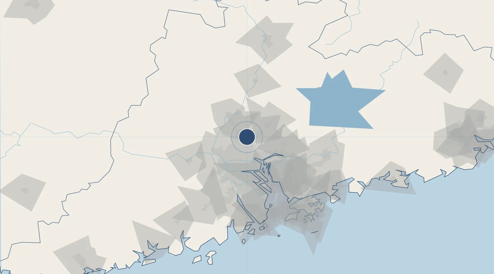
23.3924°, 113.2990°
12,467 ft
Longest runway
5
Runways
50 ft
Elevation
Runway & Layout

Radio Frequencies
ATIS
128.6 MHz
TWR
118.1 MHz
GND
121.75 MHz
CLD
121.95 MHz
APP
120.4 MHz
GUANGZHOU
Navaids
CEN VOR-DME Cencun 114.60 MHz
CON VOR-DME Conghua 113.00 MHz
FO NDB Baiyun 411 kHz
QM NDB Yanbu 423 kHz
TAN VOR-DME Yuantan 108.60 MHz
Runways · 5
| Runway | Dimensions | Surface | True heading | Lit |
|---|---|---|---|---|
| 02L/20R | 12,467 × 197ft | Asphalt | 014° | ✓ |
| 02R/20L | 12,467 × 197ft | Concrete | 014° | ✓ |
| 01R/19L | 11,811 × 148ft | Concrete | 014° | ✓ |
| 03/21 | 11,811 × 148ft | Concrete | 014° | ✓ |
| 01L/19R | 11,155 × 148ft | CONC | — | ✓ |
Airport Specifications
IATA code
CAN
ICAO code
ZGGG
Airport class
Large airport
Scheduled service
Yes
Runway surface
Asphalt
Served city
Guangzhou (Huadu)
Location
Nearby Logistics Neighbours
Airports
- 1Foshan Shadi Airport42 km
- 2Shenzhen Bao'an International Airport98 km
- 3Shek Kong Air Base133 km
- 4Hong Kong International Airport136 km
- 5Huizhou Pingtan Airport138 km
Cities
- 1Zhuliao5 km
- 2Huadu Pt16 km
- 3Jiao Xin24 km
- 4Sanyuanli/Guangzhou27 km
- 5Guangzhou Pt30 km
Ports
- 1Guangzhou31 km
- 2Huangpu36 km
- 3Huangpuxingang43 km
- 4Shekou118 km
- 5Zhuhai132 km
Trade Zones
- 1Baiyun Industrial Park15 km
- 2Huadu Economic Development Zone15 km
- 3Longhu Industrial Park16 km
- 4Sanshui Industrial Park32 km
- 5Yunpu Industrial Park36 km
DatabookThe Record of Consolidated Knowledge
China beyond logistics?