UN/LOCODE hub · China
CNNJK

Nanjiangkou

23.1167°, 111.8000°
1
Transport functions

Transport Functions

Port
UN/LOCODE

Hub Profile

Place type
Local administrative seat
GeoNames
Region
Guangdong
GeoNames
Time zone
Asia/Shanghai
GeoNames
Elevation
59 m
GeoNames

Location

Location of CNNJK
Natural Earth 10m (public domain) · Guangdong · CNNJK · 23.12, 111.80GoogleOSMYandex

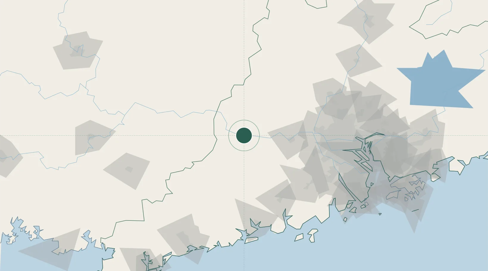
Nearby Logistics Neighbours

Cities
  1. 1Wuzhou14 km
  2. 2Liudu21 km
  3. 3Jiangkou48 km
  4. 4Guigang49 km
  5. 5Cangwu64 km
Nearest neighbours — logibook spatial index (haversine) over the source coordinates
Ports
  1. 1Guangzhou147 km
  2. 2Huangpu165 km
  3. 3Huangpuxingang174 km
  4. 4Shui Dong196 km
  5. 5Zhuhai208 km
Nearest neighbours — logibook spatial index (haversine) over the source coordinates
Airports
  1. 1Wuzhou Xijiang Airport79 km
  2. 2Foshan Shadi Airport130 km
  3. 3Guangzhou Baiyun International Airport156 km
  4. 4Guiping Mengxu Air Base185 km
  5. 5Yulin Fumian Airport188 km
Nearest neighbours — logibook spatial index (haversine) over the source coordinates
DatabookThe Record of Consolidated Knowledge
China beyond logistics?
Browse databook

All Sources

LocationsUN/LOCODE
UN/LOCODE — free
Portsthe NGA World Port Index
Public domain (US gov)
AirportsOurAirports
Public domain
Trade Zonesthe World Bank SEZ database
CC BY 4.0
Trade ZonesOpen Zone Map
CC BY
← China locations