Seaport · China

HuangpuCNHUA

23.0833°, 113.4167°
9.4 m
Channel depth
28.0
Port liner connectivity
Huangpu is also a UN/LOCODE logistics hub →

Channel & Berth Profile

SEA LEVEL (CD)CHANNEL BEDCargo pier · 7.9 mChannel · 9.4 mAnchorage · 9.4 m
NGA World Port Index

Pilotage, Tugs & Services

Pilotage compulsoryYES
Pilotage availableYES
Tug assistanceYES
Potable waterYES
Diesel bunkersYES
MedicalYES
NGA World Port Index

Facilities & Capabilities

Container
Ro-Ro
Liquid bulk
Dry bulk
Oil terminal
Break bulk
Dry dockNO
RepairsNO
BunkeringYES
Rail linkYES
Dangerous cargo
ISPS security
NGA World Port Index

Harbour Specifications

Harbour size
Small
NGA World Port Index
Harbour type
River (Natural)
NGA World Port Index
Shelter
Fair
NGA World Port Index
Water body
South China Sea; North Pacific Ocean
NGA World Port Index
Tidal range
2 m
NGA World Port Index
Overhead limit
Yes
NGA World Port Index
Pilotage
Yes
NGA World Port Index

Liner Connectivity

28
PLSCI

Port Liner Shipping Connectivity Index for Huangpu, as published by UNCTAD for the latest available quarter. Higher values indicate stronger scheduled liner-shipping integration.

Shown relative to the highest per-port PLSCI in the dataset (1,657.9).
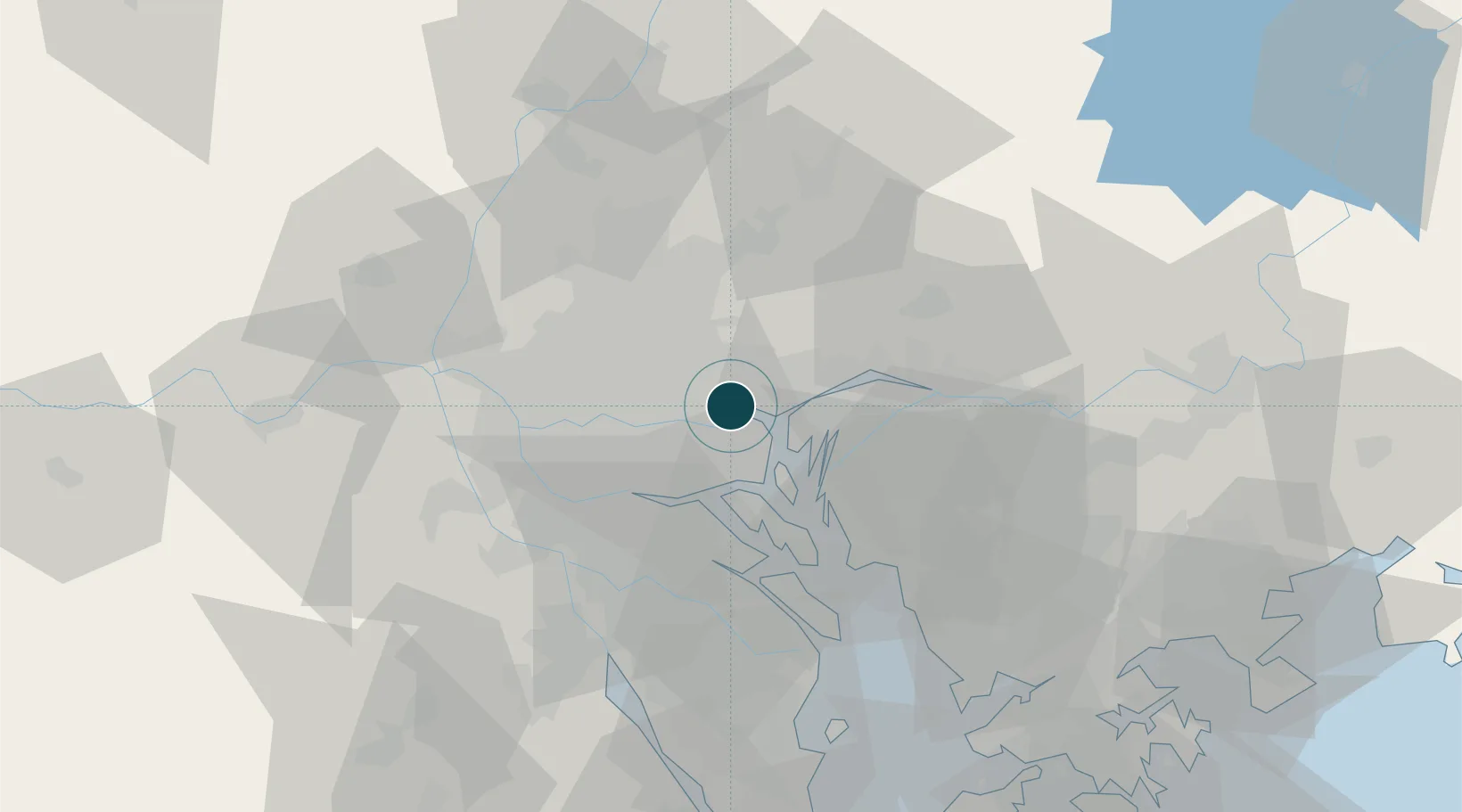
UNCTAD · Port Liner Shipping Connectivity Index

Location

Location of CNHUA
Natural Earth 10m (public domain) · Guangdong · CNHUA · 23.08, 113.42GoogleOSMYandex

Nearby Logistics Neighbours

Ports
  1. 1Huangpuxingang9 km
  2. 2Guangzhou19 km
  3. 3Shekou83 km
  4. 4Zhuhai96 km
  5. 5Macau101 km
Nearest neighbours — logibook spatial index (haversine) over the source coordinates
Cities
  1. 1Wu Chong Kou0 km
  2. 2Xiaohudao2 km
  3. 3Neigang2 km
  4. 4Yuzhu2 km
  5. 5Shating4 km
Nearest neighbours — logibook spatial index (haversine) over the source coordinates
Airports
  1. 1Foshan Shadi Airport35 km
  2. 2Guangzhou Baiyun International Airport36 km
  3. 3Shenzhen Bao'an International Airport63 km
  4. 4Shek Kong Air Base99 km
  5. 5Hong Kong International Airport100 km
Nearest neighbours — logibook spatial index (haversine) over the source coordinates
Trade Zones
  1. 1Guangzhou Export Processing Zone12 km
  2. 2Yunpu Industrial Park14 km
  3. 3Longhu Industrial Park27 km
  4. 4Baiyun Industrial Park29 km
  5. 5Fushan Industrial Park40 km
Nearest neighbours — logibook spatial index (haversine) over the source coordinates
DatabookThe Record of Consolidated Knowledge
China beyond logistics?
Browse databook

All Sources

Portsthe NGA World Port Index
Public domain (US gov)
Logistics performanceUNCTAD
CC BY 3.0 IGO
AirportsOurAirports
Public domain
LocationsUN/LOCODE
UN/LOCODE — free
Trade Zonesthe World Bank SEZ database
CC BY 4.0
Trade ZonesOpen Zone Map
CC BY
← China ports